
Keritang, district in Indragiri Hilir Regency, Riau Province, Indonesia
Location: Indragiri Hilir
Elevation above the sea: 18 m
GPS coordinates: -0.73832,102.93672
Latest update: April 20, 2025 20:23

Mount Kerinci
214.5 km
Muaro Jambi Temple Compounds
113.1 km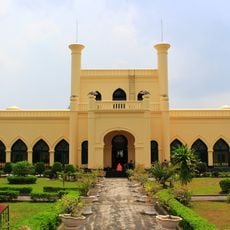
Siak Sri Indrapura palace
197.2 km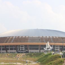
Riau Main Stadium
219.5 km
Prasasti Karang Berahi
156.1 km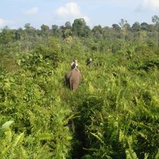
Tesso Nilo National Park
146.6 km
Bukit Tigapuluh National Park
56.7 km
Bukit Duabelas National Park
127.8 km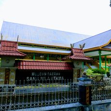
Museum Sang Nila Utama
214.6 km
Berbak National Park
171.2 km
Gentala Arasy Tower Museum
120.6 km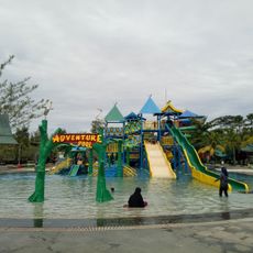
Water Park
209.3 km
Kaharudin Nasution Rumbai Stadium
222.3 km
Telun Berasap Falls
206.8 km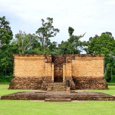
Candi Gumpung
115.6 km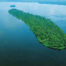
Zamrud National Park
174.7 km
Rumah Gadang Datuk Sinaro Garang
161.8 km
Mount Tujuh
197.8 km
Ikhsaniyyah Mosque
119.9 km
Taman Rimbo
126.5 km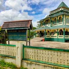
Masjid Djami Keraton Landak
59.2 km
Masjid Tua Siguntur
154.4 km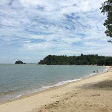
Pelawan beach
203.3 km
Ex Camp Vietnam
217.8 km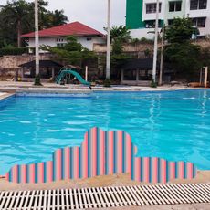
Mayang Club Waterpark
123.2 km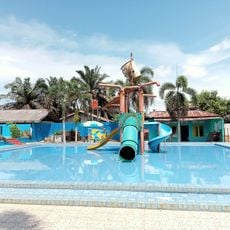
FA Water Boom
158.6 km
Pantai Dorak
195.4 km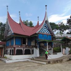
Surau Tinggi Calau
219.9 kmReviews
Visited this place? Tap the stars to rate it and share your experience / photos with the community! Try now! You can cancel it anytime.
Discover hidden gems everywhere you go!
From secret cafés to breathtaking viewpoints, skip the crowded tourist spots and find places that match your style. Our app makes it easy with voice search, smart filtering, route optimization, and insider tips from travelers worldwide. Download now for the complete mobile experience.

A unique approach to discovering new places❞
— Le Figaro
All the places worth exploring❞
— France Info
A tailor-made excursion in just a few clicks❞
— 20 Minutes