
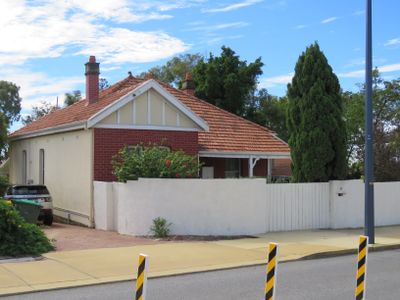
House & Former Milk Depot, heritage listed building in Swanbourne, Western Australia
Location: Town of Claremont
GPS coordinates: -31.98108,115.77570
Latest update: March 11, 2025 23:11
Claremont Showground
1.1 km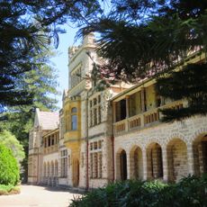
Claremont Teachers College
1.4 km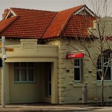
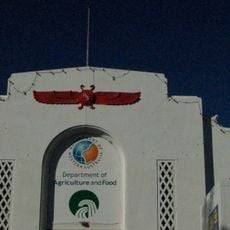
Claremont Post Office
554 m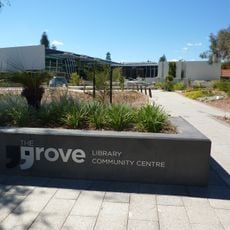
The Grove Community History Library
2.1 km
Congregational Church, Claremont
904 m
Old Claremont Fire Station
893 m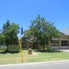
Claremont Fire Station
865 m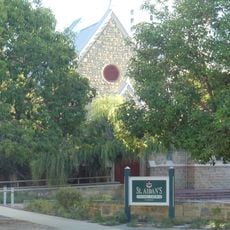
St Aidan's Uniting Church and Hall
995 m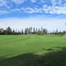
Allen Park
1.5 km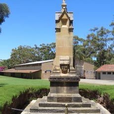
Claremont Teachers College War Memorial
1.3 km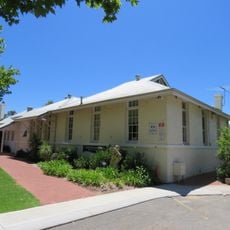
Claremont Primary School Precinct
832 m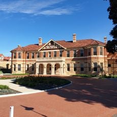
Montgomery Hall
2.2 km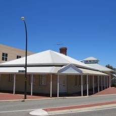
Cottesloe Post Office & Telephone Exchange
2.2 km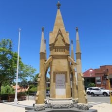
Claremont War Memorial
601 m
Wanslea
1.3 km
Coronado Hotel
1.4 km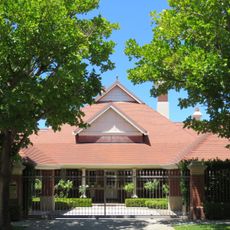
Colwyn, Claremont
1.3 km
Claremont Council Offices & Surroundings
636 m
Claremont School of Art Building
861 m
Tom Collins House, Allen Park
1.4 km
St Philip's Anglican Church
2 km
Congregational Hall & Congregational Church
910 m
ANZAC Cottage, Claremont
319 m
Cottesloe Flour Mill
1.7 km
Christ Church and Rectory, Claremont
467 m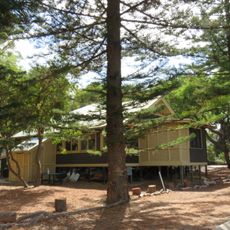
Mattie Furphy's House
1.4 km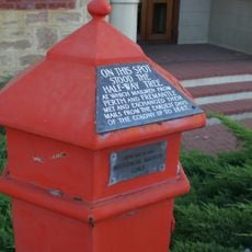
Pillar Box
919 m
Claremont Police Station, Lock-up & Stables
768 mReviews
Visited this place? Tap the stars to rate it and share your experience / photos with the community! Try now! You can cancel it anytime.
Discover hidden gems everywhere you go!
From secret cafés to breathtaking viewpoints, skip the crowded tourist spots and find places that match your style. Our app makes it easy with voice search, smart filtering, route optimization, and insider tips from travelers worldwide. Download now for the complete mobile experience.

A unique approach to discovering new places❞
— Le Figaro
All the places worth exploring❞
— France Info
A tailor-made excursion in just a few clicks❞
— 20 Minutes