Kayu Manis, village in Bogor, West Java Province, Indonesia
Location: Tanah Sareal
Elevation above the sea: 156 m
GPS coordinates: -6.53016,106.76879
Latest update: March 6, 2025 12:26
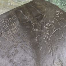
Ciaruteun inscription
8.6 km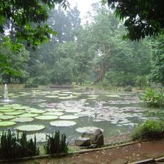
Bogor Botanical Gardens
8.3 km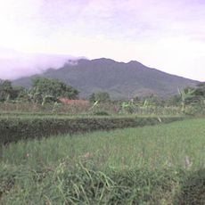
Mount Salak
20.7 km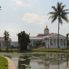
Bogor Palace
8.2 km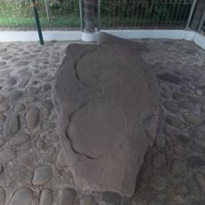
Kebon Kopi I inscription
8.7 km
Dian Al-Mahri Mosque
16.3 km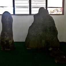
Batutulis inscription
11.3 km
Sentul International Circuit
9.8 km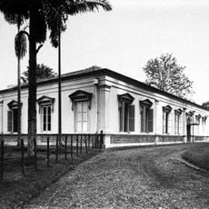
Bogor Zoology Museum
8.8 km
Pakansari Stadium
8.2 km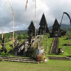
Pura Parahyangan Agung Jagatkarta
15.9 km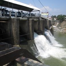
Katulampa floodgate
13.7 km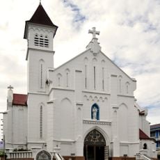
Bogor Cathedral
7.9 km
Museum Nasional Sejarah Alam Indonesia
8.1 km
University of Indonesia Central Library
19.6 km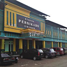
Persikabo Stadium
8.6 km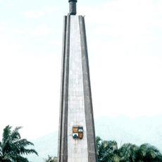
Kujang Monument
8.9 km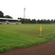
Pajajaran Stadium
6.1 km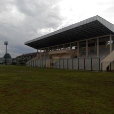
Mahakam Stadium
18.3 km
Museum Tanah dan Pertanian
8.8 km
Museum Kepresidenan Republik Indonesia Balai Kirti
8.1 km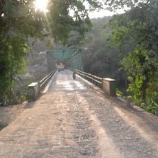
Gerendong Bridge
15 km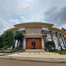
Museum Betawi
22.2 km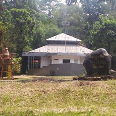
Sanggar Bakti Saka Bahari Buperta
23.1 km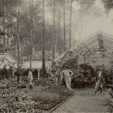
's Lands Plantentuin
8.3 km
PT. Viandra Productions
21.7 km
MolekLane Museum
24.1 km
Cibodas
8.9 kmReviews
Visited this place? Tap the stars to rate it and share your experience / photos with the community! Try now! You can cancel it anytime.
Discover hidden gems everywhere you go!
From secret cafés to breathtaking viewpoints, skip the crowded tourist spots and find places that match your style. Our app makes it easy with voice search, smart filtering, route optimization, and insider tips from travelers worldwide. Download now for the complete mobile experience.

A unique approach to discovering new places❞
— Le Figaro
All the places worth exploring❞
— France Info
A tailor-made excursion in just a few clicks❞
— 20 Minutes