Bojonglarang, village in Cianjur Regency, West Java, Indonesia
Location: Cijati
Elevation above the sea: 137 m
GPS coordinates: -7.26750,107.00250
Latest update: March 25, 2025 07:34
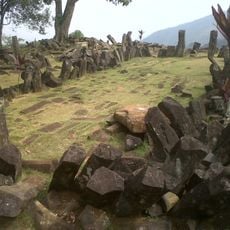
Gunung Padang Megalithic Site
31 km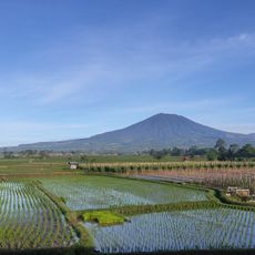
Mount Gede
53.4 km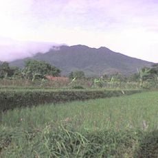
Mount Salak
68.2 km
Sea World Indonesia
128.3 km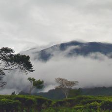
Mount Gede-Pangrango National Park
56.3 km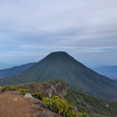
Mount Pangrango
55.6 km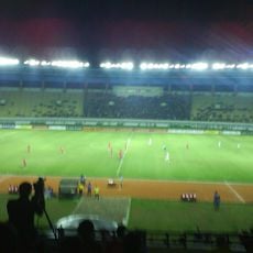
Si Jalak Harupat Stadium
65.6 km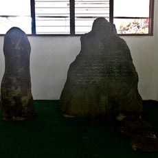
Batutulis inscription
74.8 km
Grand Mosque of Bandung
77 km
Kebun Raya Cibodas
58.5 km
Puspa IPTEK Sundial
71.3 km
Cipanas Palace
59.6 km
Ciletuh-Palabuhanratu Geopark
76.5 km
Pura Parahyangan Agung Jagatkarta
72.8 km
Gunung Malabar
70.9 km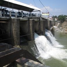
Katulampa floodgate
72.9 km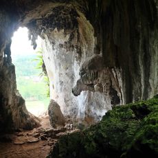
Gua Pawon
68.8 km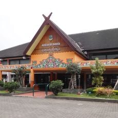
Sri Baduga Museum
75.9 km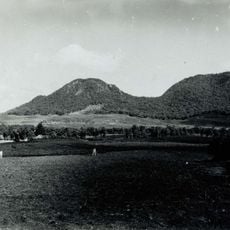
Wayang-Windu
70.4 km
Stone Garden
68.9 km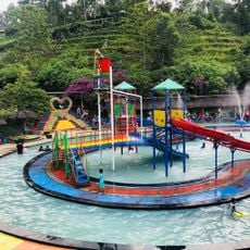
Barusen Hills
57.4 km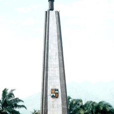
Kujang Monument
77.3 km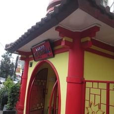
Al-Imtizaj Mosque
77.3 km
Museum Tanah dan Pertanian
77.3 km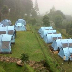
Javana Spa
66.4 km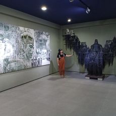
NuArt Sculpture Park
76.5 km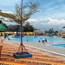
Global Water Park
41.9 km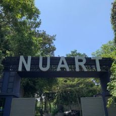
Museum Nuart Sculpture Park
76.5 kmReviews
Visited this place? Tap the stars to rate it and share your experience / photos with the community! Try now! You can cancel it anytime.
Discover hidden gems everywhere you go!
From secret cafés to breathtaking viewpoints, skip the crowded tourist spots and find places that match your style. Our app makes it easy with voice search, smart filtering, route optimization, and insider tips from travelers worldwide. Download now for the complete mobile experience.

A unique approach to discovering new places❞
— Le Figaro
All the places worth exploring❞
— France Info
A tailor-made excursion in just a few clicks❞
— 20 Minutes