Rangkasbitung Timur, village in Lebak Regency, Banten, Indonesia
Location: Rangkasbitung
Elevation above the sea: 46 m
GPS coordinates: -6.37444,106.27194
Latest update: March 7, 2025 00:59
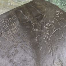
Ciaruteun inscription
49.4 km
Great Mosque of Banten
39.8 km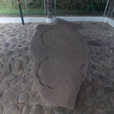
Kebon Kopi I inscription
49.3 km
Dian Al-Mahri Mosque
55.3 km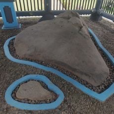
Jambu Inscription
37.2 km
Mount Halimun Salak National Park
52.8 km
Gunung Karang
27.3 km
Pulosari
32.7 km
Ciletuh-Palabuhanratu Geopark
52.1 km
Gunung Halimun
42.3 km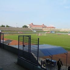
Benteng Stadium
46.3 km
Lebak Bulus
56.4 km
Kites Museum of Indonesia
57.9 km
Benteng Heritage Museum
45.2 km
Kali Pasir Mosque
45.1 km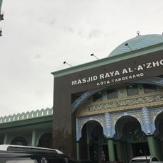
Al-Azhom Grand Mosque
46.6 km
Rawa Danau Nature Reserve
39.3 km
Cikoneng Lighthouse
54.5 km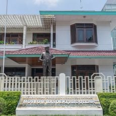
Museum Basoeki Abdullah
58.5 km
Kasunyatan Mosque
38.2 km
Masjid Carita
48.1 km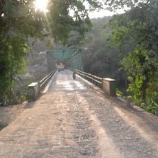
Gerendong Bridge
43.3 km
Masjid Caringin
49.4 km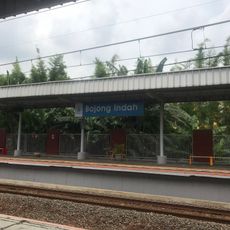
Bojong Indah
56.5 km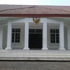
Museum Juang TMP Taruna
46.5 km
MolekLane Museum
53.6 km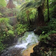
Cibodas
55.7 km
Pulau Dua Nature Reserve
40.6 kmReviews
Visited this place? Tap the stars to rate it and share your experience / photos with the community! Try now! You can cancel it anytime.
Discover hidden gems everywhere you go!
From secret cafés to breathtaking viewpoints, skip the crowded tourist spots and find places that match your style. Our app makes it easy with voice search, smart filtering, route optimization, and insider tips from travelers worldwide. Download now for the complete mobile experience.

A unique approach to discovering new places❞
— Le Figaro
All the places worth exploring❞
— France Info
A tailor-made excursion in just a few clicks❞
— 20 Minutes