
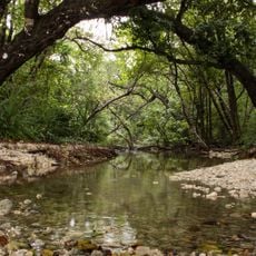
Kalianda, district in South Lampung Regency, Lampung Province, Indonesia
Location: South Lampung
Elevation above the sea: 75 m
GPS coordinates: -5.73500,105.59100
Latest update: March 17, 2025 03:30
Ujung Kulon National Park
116.5 km
Way Kambas National Park
90.8 km
Great Mosque of Banten
70.9 km
Sunda Strait Bridge
38.2 km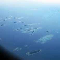
Kepulauan Seribu Marine National Park
113.5 km
Gunung Karang
78.3 km
Rakata
49.2 km
Pulosari
80 km
Siger Tower
22.8 km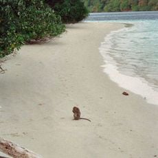
Peucang Island
117.9 km
Gunung Rajabasa
6.8 km
Panaitan Island
104.3 km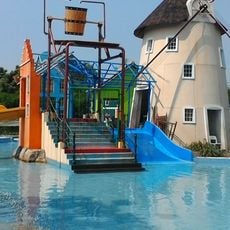
Pusat Rekreasi Amsterdam
119.6 km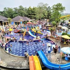
Fun Park
119.6 km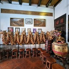
Benteng Heritage Museum
125.2 km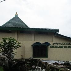
Kali Pasir Mosque
125.1 km
Tambling Wildlife Nature Conservation
116.4 km
Way Halim Stadium
52.6 km
Rawa Danau Nature Reserve
64.8 km
Cikoneng Lighthouse
49.6 km
Kasunyatan Mosque
71.9 km
Masjid Carita
70.3 km
Gita Persada Butterfly Park
56.7 km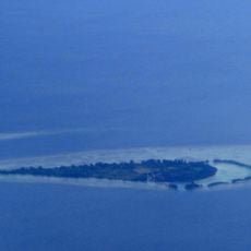
Payung Besar Island
107.2 km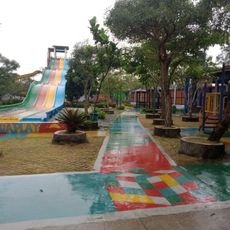
Aryana Aquaplay
123.6 km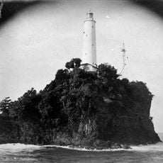
Tanjung Layar Lighthouse
120.1 km
Masjid Caringin
73.9 km
Pulau Anak Krakatau natural reserve
46.4 kmReviews
Visited this place? Tap the stars to rate it and share your experience / photos with the community! Try now! You can cancel it anytime.
Discover hidden gems everywhere you go!
From secret cafés to breathtaking viewpoints, skip the crowded tourist spots and find places that match your style. Our app makes it easy with voice search, smart filtering, route optimization, and insider tips from travelers worldwide. Download now for the complete mobile experience.

A unique approach to discovering new places❞
— Le Figaro
All the places worth exploring❞
— France Info
A tailor-made excursion in just a few clicks❞
— 20 Minutes