
Tanah Sereal, subdistrict in West Jakarta City, Jakarta, Indonesia
Location: Tambora
Elevation above the sea: 8 m
GPS coordinates: -6.15390,106.80920
Latest update: April 3, 2025 21:22
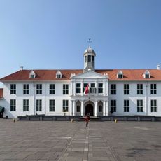
Jakarta History Museum
2.1 km
Istana Negara
2.3 km
Wayang Museum
2.2 km
Museum Bank Indonesia
1.9 km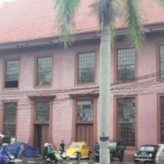
Toko Merah
2 km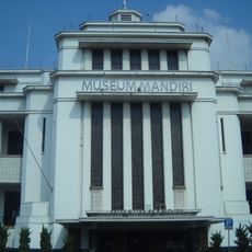
Bank Mandiri Museum
1.8 km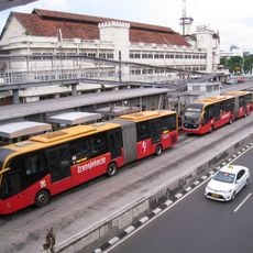
Harmoni Central Busway
1.8 km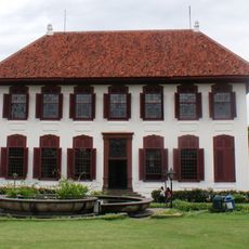
National Archives Building, Jakarta
857 m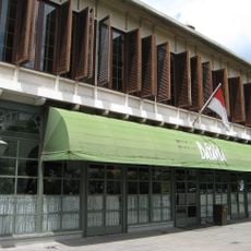
Café Batavia
2.2 km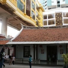
Candra Naya
1 km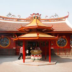
Kim Tek Ie Temple
1.2 km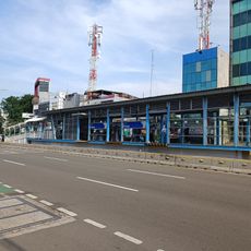
Petojo
2 km
Mangga Besar
919 m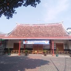
Gereja Santa Maria de Fatima Jakarta
1.2 km
Sawah Besar
1.3 km
Olimo (Transjakarta)
972 m
Angke Mosque
1.9 km
Museum Fatahillah (Transjakarta)
2.2 km
Magic Art 3D Museum Jakarta
2 km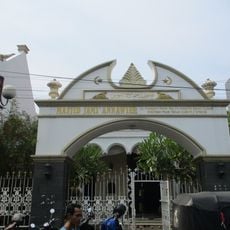
An-Nawier Mosque
1.5 km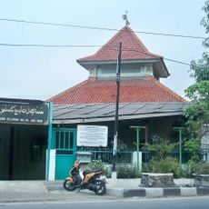
Jami Kampung Baru Inpak Mosque
2.1 km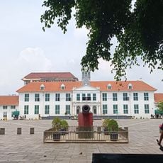
Fatahillah Old Town Museum
2.1 km
Pancoran Chinatown Point
1.5 km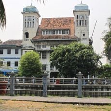
Gebouw van de Internationale Crediet- en Handelsvereeniging Rotterdam
2.2 km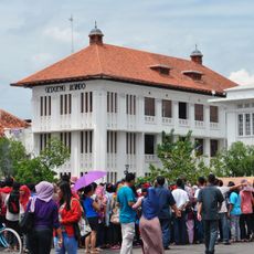
Gedoeng Jasindo
2.2 km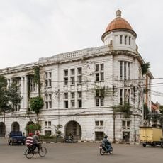
Chartered Bank Office
1.9 km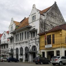
Gebouw van de Hongkong Shanghai Bank
2 km
Kantoor van de Borneo Company
1.9 kmReviews
Visited this place? Tap the stars to rate it and share your experience / photos with the community! Try now! You can cancel it anytime.
Discover hidden gems everywhere you go!
From secret cafés to breathtaking viewpoints, skip the crowded tourist spots and find places that match your style. Our app makes it easy with voice search, smart filtering, route optimization, and insider tips from travelers worldwide. Download now for the complete mobile experience.

A unique approach to discovering new places❞
— Le Figaro
All the places worth exploring❞
— France Info
A tailor-made excursion in just a few clicks❞
— 20 Minutes