
Papanggo, subdistrict in North Jakarta City, Jakarta, Indonesia
Location: Tanjung Priok
Elevation above the sea: 4 m
GPS coordinates: -6.12998,106.87209
Latest update: April 21, 2025 01:34
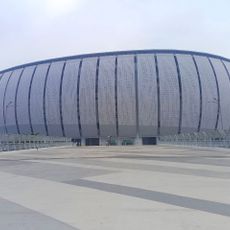
Jakarta International Stadium
1.4 km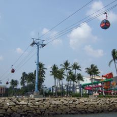
Ancol Dreamland
4.6 km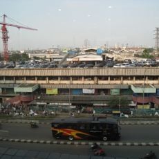
Pasar Senen
6.1 km
Kemayoran Athletes Village
2.9 km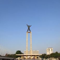
West Irian Liberation Monument
6.1 km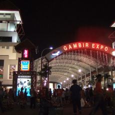
Jakarta International Expo
3.5 km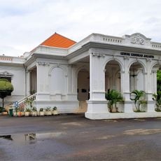
Jakarta Art Building
5.8 km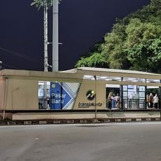
Pasar Baru
5.8 km
Sunter Kelapa Gading
2.5 km
Gunung Sahari Mangga Dua
4.5 km
Pasar Baru Timur
5.2 km
Jembatan Merah
4.6 km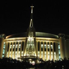
Messiah Cathedral
4.1 km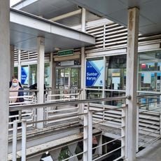
Sunter Karya
893 m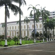
A.A. Maramis Building
5.8 km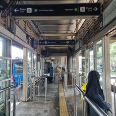
Sunter Boulevard Barat
2.8 km
ASMI
5 km
Budi Utomo
5.4 km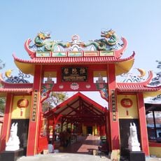
Bahtera Bakti Vihara
2.3 km
Lautze Mosque
5.7 km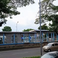
Pasar Cempaka Putih
4.8 km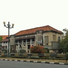
Toko Tio Tek Hong
6.1 km
Danau Agung
2.4 km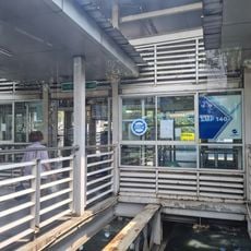
SMP 140
1.8 km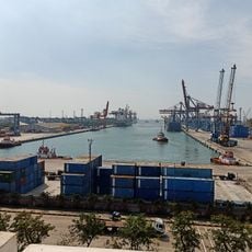
Maritime Museum of Indonesia
2.8 km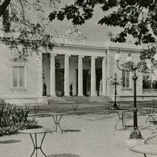
Sociëteit Concordia Batavia
6 km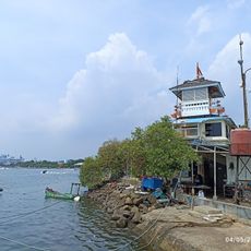
Dermaga 22
4.9 km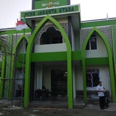
Kantor PCNU JAKARTA UTARA
5 kmReviews
Visited this place? Tap the stars to rate it and share your experience / photos with the community! Try now! You can cancel it anytime.
Discover hidden gems everywhere you go!
From secret cafés to breathtaking viewpoints, skip the crowded tourist spots and find places that match your style. Our app makes it easy with voice search, smart filtering, route optimization, and insider tips from travelers worldwide. Download now for the complete mobile experience.

A unique approach to discovering new places❞
— Le Figaro
All the places worth exploring❞
— France Info
A tailor-made excursion in just a few clicks❞
— 20 Minutes