
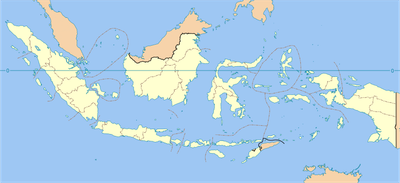
Kaligintung, village in Kulon Progo, Special Region of Yogyakarta, Indonesia
Location: Temon
Elevation above the sea: 8 m
GPS coordinates: -7.88167,110.08917
Latest update: March 13, 2025 19:19
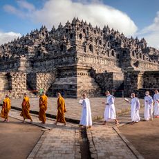
Borobudur
33 km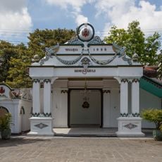
Kraton Ngayogyakarta Hadiningrat
31.5 km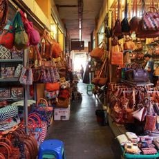
Pasar Bringharjo
32 km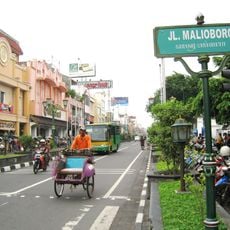
Malioboro Street
32 km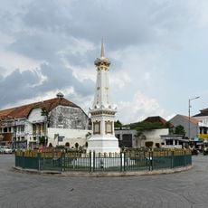
Tugu Yogyakarta
32.6 km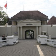
Fort Vredeburg
31.8 km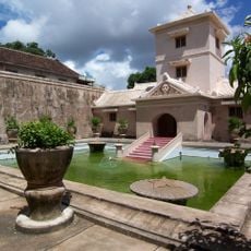
Taman Sari
30.8 km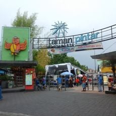
Taman Pintar Yogyakarta
32 km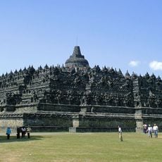
Borobudur Temple Compounds
33 km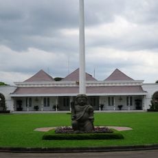
Gedung Agung
31.7 km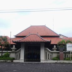
Museum Sonobudoyo
31.6 km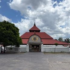
Kauman Great Mosque
31.4 km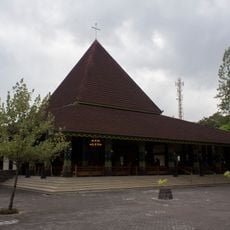
Ganjuran Church
25.8 km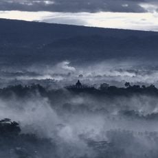
Punthuk Setumbu
31.9 km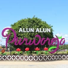
Alun-Alun Purworejo
20.8 km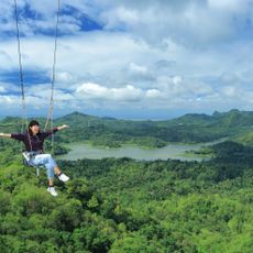
Wisata Alam Kalibiru
9.5 km
Panggung Krapyak
30.5 km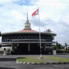
Struggle Museum of Yogyakarta
32 km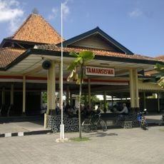
Dewantara Kirti Griya Museum
33 km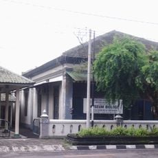
Biology Museum
32.7 km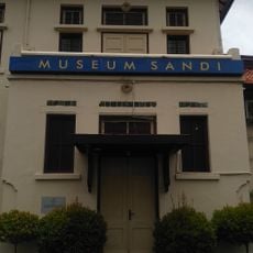
Sandi Museum
32.9 km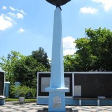
Monumen Perjuangan TNI AU
32 km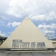
History of Java Museum
30.4 km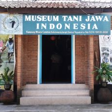
Museum Tani Jawa Indonesia
31.5 km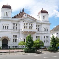
Gebouw van de Javasche Bank
31.7 km
Museum Wahanarata
31.3 km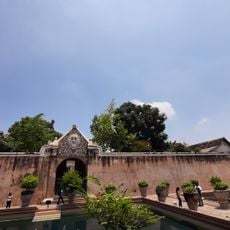
Water Castle of Royal Jogjakarta
31 km
Yogyakarta City Library
33.3 kmReviews
Visited this place? Tap the stars to rate it and share your experience / photos with the community! Try now! You can cancel it anytime.
Discover hidden gems everywhere you go!
From secret cafés to breathtaking viewpoints, skip the crowded tourist spots and find places that match your style. Our app makes it easy with voice search, smart filtering, route optimization, and insider tips from travelers worldwide. Download now for the complete mobile experience.

A unique approach to discovering new places❞
— Le Figaro
All the places worth exploring❞
— France Info
A tailor-made excursion in just a few clicks❞
— 20 Minutes