
Kanoman, village in Kulon Progo Regency, Yogyakarta, Indonesia
Location: Panjatan
Elevation above the sea: 9 m
GPS coordinates: -7.91312,110.16769
Latest update: May 5, 2025 09:13
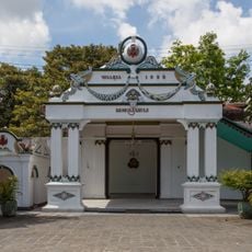
Kraton Ngayogyakarta Hadiningrat
24.7 km
Pasar Bringharjo
25.4 km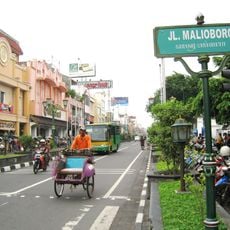
Malioboro Street
25.6 km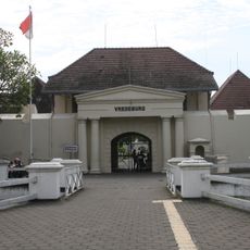
Fort Vredeburg
25.2 km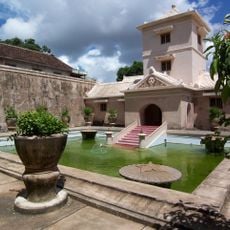
Taman Sari
24 km
Taman Pintar Yogyakarta
25.4 km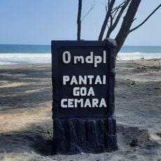
Beach Goa Cemara
13.4 km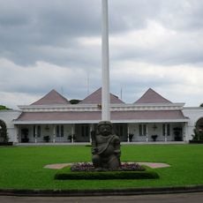
Gedung Agung
25.1 km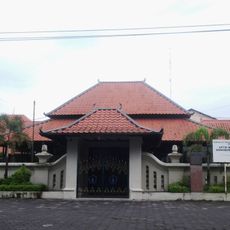
Museum Sonobudoyo
25 km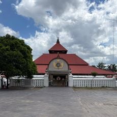
Kauman Great Mosque
24.7 km
Ganjuran Church
16.8 km
Pantai Baru
10.5 km
Pantai Dewaruci Jatimalang
20.7 km
Wisata Alam Kalibiru
12.7 km
Panggung Krapyak
23.3 km
Struggle Museum of Yogyakarta
25 km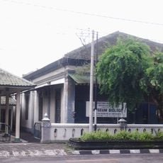
Biology Museum
25.9 km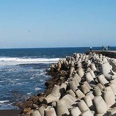
Pantai Glagah Indah
11.2 km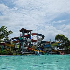
Grand Puri Waterpark
20.8 km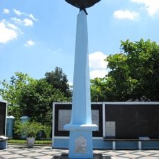
Monumen Perjuangan TNI AU
24.4 km
Samas Beach
15.2 km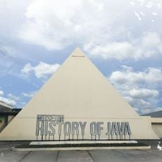
History of Java Museum
22.8 km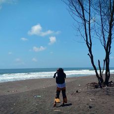
Kwaru Beach
10.9 km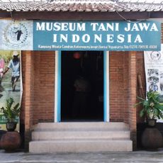
Museum Tani Jawa Indonesia
22.5 km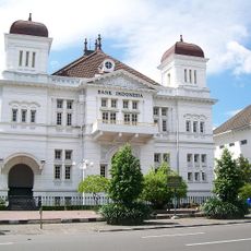
Gebouw van de Javasche Bank
25.1 km
Pantai Tall Wolu
19.4 km
Parangendog
23.4 km
Museum Wahanarata
24.6 kmReviews
Visited this place? Tap the stars to rate it and share your experience / photos with the community! Try now! You can cancel it anytime.
Discover hidden gems everywhere you go!
From secret cafés to breathtaking viewpoints, skip the crowded tourist spots and find places that match your style. Our app makes it easy with voice search, smart filtering, route optimization, and insider tips from travelers worldwide. Download now for the complete mobile experience.

A unique approach to discovering new places❞
— Le Figaro
All the places worth exploring❞
— France Info
A tailor-made excursion in just a few clicks❞
— 20 Minutes