
Ronggojati, village in Wonogiri Regency, Central Java, Indonesia
Location: Batuwarno
Elevation above the sea: 285 m
GPS coordinates: -7.95806,110.98861
Latest update: May 20, 2025 13:11

Lawu Mountain
43.2 km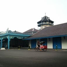
Kraton of Surakarta
45.9 km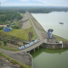
Gajah Mungkur Reservoir
11.5 km
Cetho
44.4 km
Sukuh
40 km
Astana Giribangun
35.3 km
Grojogan Sewu waterfall
36.6 km
Pantai Klayar
30 km
Fort Vastenburg
46.3 km
Gunung Sewu Geopark
25.3 km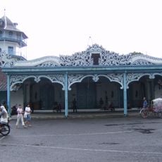
Arsitektur dan peninggalan sejarah di Surakarta
46.3 km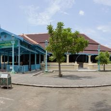
Great Mosque of Surakarta
46.3 km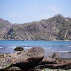
Wediombo beach
40.1 km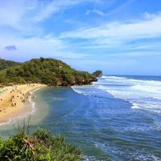
Pantai Pulang Sawal
46.7 km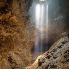
Jomblang Cave
39.4 km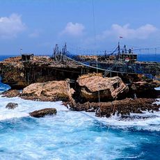
Timang Beach
43.4 km
Panté Siung
41.9 km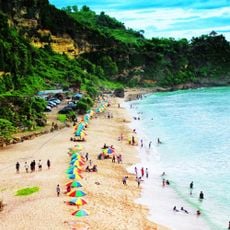
Pok Tunggal Beach
46 km
Pantai Watu Lawang
46.3 km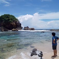
Pantai Jungwok
40.5 km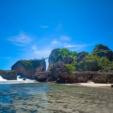
Siung Beach
41.9 km
Pantai Sedahan
39.8 km
Pantai Ngitun
43.9 km
Jumog waterfall
39.5 km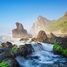
Pantai Watu Lumbung
40.7 km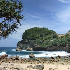
Pantai Sembukan
31.7 km
Pancer Surf Spot
32.8 km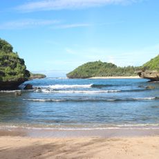
Pantai Bercak
31.3 kmReviews
Visited this place? Tap the stars to rate it and share your experience / photos with the community! Try now! You can cancel it anytime.
Discover hidden gems everywhere you go!
From secret cafés to breathtaking viewpoints, skip the crowded tourist spots and find places that match your style. Our app makes it easy with voice search, smart filtering, route optimization, and insider tips from travelers worldwide. Download now for the complete mobile experience.

A unique approach to discovering new places❞
— Le Figaro
All the places worth exploring❞
— France Info
A tailor-made excursion in just a few clicks❞
— 20 Minutes