
Burneh, village in Bangkalan Regency, East Java, Indonesia
Location: Burneh
Elevation above the sea: 13 m
GPS coordinates: -7.06882,112.78807
Latest update: March 3, 2025 09:37
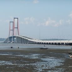
Suramadu Bridge
12.8 km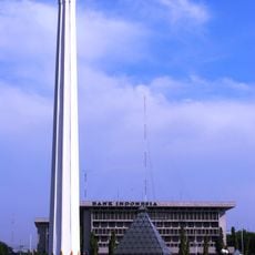
Heroes Monument
20.5 km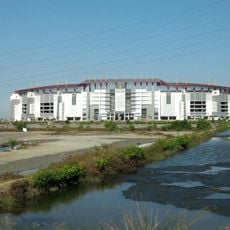
Gelora Bung Tomo Stadium
25.1 km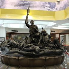
Heroes Monument
20.5 km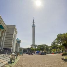
Al-Akbar Mosque
30.9 km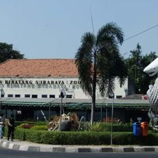
Surabaya Zoo
25.9 km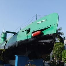
Submarine Monument Surabaya
22.3 km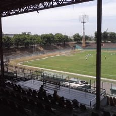
Gelora 10 November Stadium
20.7 km
Ampel Mosque
18.9 km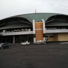
Graha Bethany Nginden
26.6 km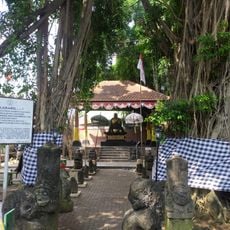
Arca Joko dolog
22.4 km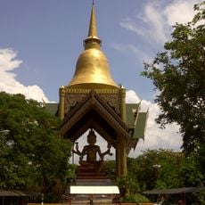
Sanggar Agung
19.9 km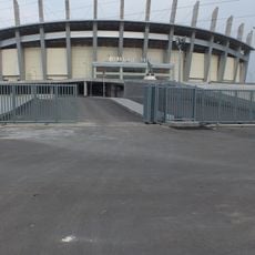
Gelora Joko Samudro Stadium
20 km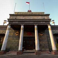
House of Sampoerna
19 km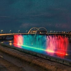
Kenjeran Bridge
18.8 km
Surabaya Synagogue
22.4 km
Gelora Bangkalan Stadium
6.1 km
Bank Indonesia Museum
19.4 km
Surabaya City Hall
21.7 km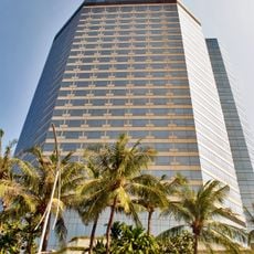
JW Marriott Surabaya
22 km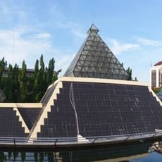
Museum Sepuluh Nopember
20.4 km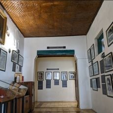
Museum H. O. S. Tjokroaminoto
21.2 km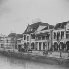
The Algemeene building
19.5 km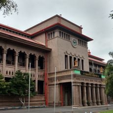
Kantoor van de Handelsvereeniging Amsterdam
19.7 km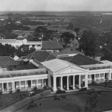
Palace of Justice, Surabaya
20.5 km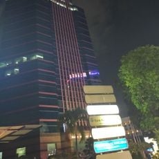
BRI Tower
23.3 km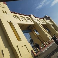
Pintu Air Jagir
26.3 km
Karel Doormanmonument op het Nederlands Ereveld Kembang Kuning
25.1 kmReviews
Visited this place? Tap the stars to rate it and share your experience / photos with the community! Try now! You can cancel it anytime.
Discover hidden gems everywhere you go!
From secret cafés to breathtaking viewpoints, skip the crowded tourist spots and find places that match your style. Our app makes it easy with voice search, smart filtering, route optimization, and insider tips from travelers worldwide. Download now for the complete mobile experience.

A unique approach to discovering new places❞
— Le Figaro
All the places worth exploring❞
— France Info
A tailor-made excursion in just a few clicks❞
— 20 Minutes