
Gantarang, district in Bulukumba Regency, South Sulawesi, Indonesia
Location: Bulukumba
Elevation above the sea: 314 m
GPS coordinates: -5.56622,120.16220
Latest update: April 5, 2025 00:22
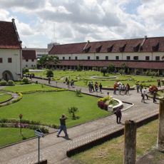
Fort Rotterdam
96.6 km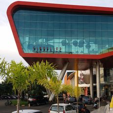
Trans Studio Makassar
96.4 km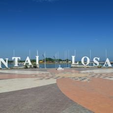
Losari Beach
95.9 km
Bantimurung – Bulusaraung National Park
87.1 km
Pettakere cave
81.4 km
Taka Bone Rate National Park
165.6 km
Buntu Rantemario
243.2 km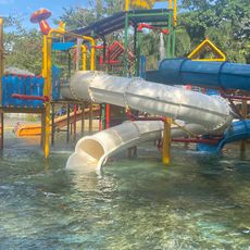
Bugis Waterpark
87 km
Great Mosque of Makassar
95.5 km
Balla Lompoa Museum
88.3 km
Sacred Heart Cathedral, Makassar
96.1 km
Al-Markaz Al-Islami Mosque
94.9 km
Rawa Aopa Watumohai National Park
241.1 km
La Galigo Museum
96.7 km
Makassar Museum
96.4 km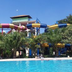
Gowa Discovery Park
93.4 km
Karaeng Pattingalloang Museum
93.8 km
Kassi Kebo Stadium
90.9 km
Grand Mosque of Makassar
95.5 km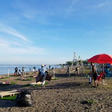
Pantai Indah Bosowa
96.7 km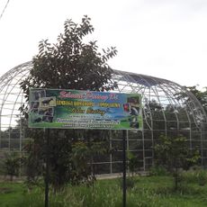
Bontomarannu Education Park
78.4 km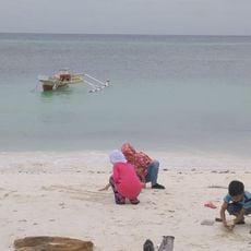
Pantai Pa'badilan
45.7 km
Monument gevallenen Boni-expeditie 1905-1906
96.8 km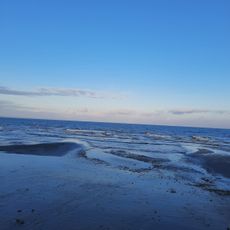
Pantai merpati
4.1 km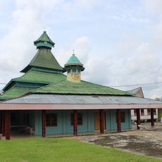
Masjid Jami Koto Pangean 1931
93 km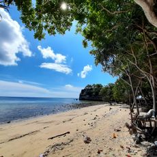
Pantai Batulohe
60.1 km
Benteng weir
215.9 km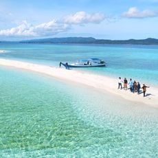
Pantai Bahuluang
105.1 kmReviews
Visited this place? Tap the stars to rate it and share your experience / photos with the community! Try now! You can cancel it anytime.
Discover hidden gems everywhere you go!
From secret cafés to breathtaking viewpoints, skip the crowded tourist spots and find places that match your style. Our app makes it easy with voice search, smart filtering, route optimization, and insider tips from travelers worldwide. Download now for the complete mobile experience.

A unique approach to discovering new places❞
— Le Figaro
All the places worth exploring❞
— France Info
A tailor-made excursion in just a few clicks❞
— 20 Minutes