Liukang Kalmas, district in Pangkajene and Islands Regency, South Sulawesi Province, Indonesia
Location: Pangkajene and Islands
GPS coordinates: -5.19366,117.65540
Latest update: March 10, 2025 00:26

Tambora
342.1 km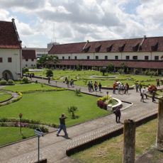
Fort Rotterdam
194.2 km
Bantimurung – Bulusaraung National Park
234.6 km
Pettakere cave
227.1 km
Jesus Buntu Burake
339.3 km
Kete Kesu
349.7 km
Buntu Rantemario
331.2 km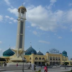
Al-Karomah Great Mosque
369.8 km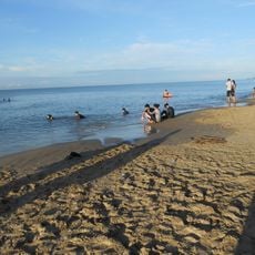
Angsana Beach
278.8 km
Lambung Mangkurat Museum
368.5 km
Sangeang Api
369 km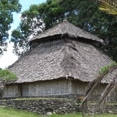
Bayan Beleq Mosque
368 km
Great Mosque of Makassar
195.7 km
Balla Lompoa Museum
199.2 km
Sacred Heart Cathedral, Makassar
194.6 km
Al-Markaz Al-Islami Mosque
196.5 km
La Galigo Museum
194.1 km
Makassar Museum
194.5 km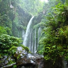
Tiu Kelep Waterfall
372.8 km
Karaeng Pattingalloang Museum
193.9 km
Kassi Kebo Stadium
213.1 km
Grand Mosque of Makassar
195.7 km
Komet Windpump
368.8 km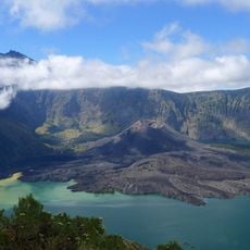
Rinjani-Lombok
349.1 km
Monument gevallenen Boni-expeditie 1905-1906
194.1 km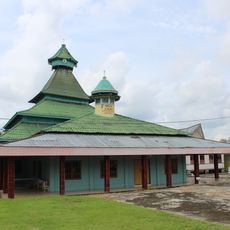
Masjid Jami Koto Pangean 1931
193.5 km
Benteng weir
280 km
Moyo Satonda National Park
328.6 kmReviews
Visited this place? Tap the stars to rate it and share your experience / photos with the community! Try now! You can cancel it anytime.
Discover hidden gems everywhere you go!
From secret cafés to breathtaking viewpoints, skip the crowded tourist spots and find places that match your style. Our app makes it easy with voice search, smart filtering, route optimization, and insider tips from travelers worldwide. Download now for the complete mobile experience.

A unique approach to discovering new places❞
— Le Figaro
All the places worth exploring❞
— France Info
A tailor-made excursion in just a few clicks❞
— 20 Minutes