
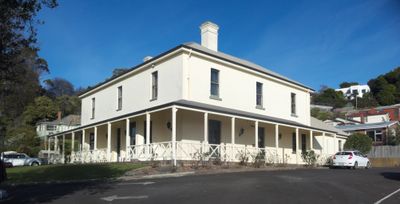
Burnie Club, club building and former house in Burnie, Tasmania, Australia
Location: City of Burnie
Official opening: 1883
Made from material: brick
Address: 40 Queen Street, Burnie, 7320 7320
GPS coordinates: -41.05157,145.90036
Latest update: April 3, 2025 21:48

Guide Falls
14.4 km
Table Cape Lookout
17.9 km
Penguin Beach
15.7 km
1 Cattley Street
620 m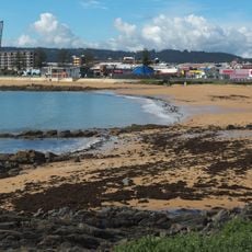
West Beach
491 m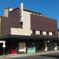
Cinema One
441 m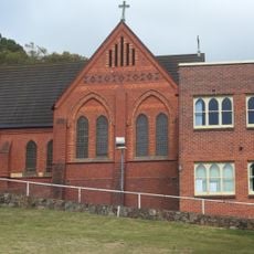
St Marys Star of the Sea Church and Convent School
558 m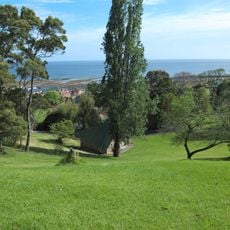
Burnie Park
575 m
East Wynyard Beach
15.1 km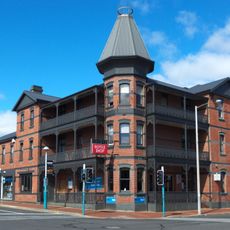
Ikon Hotel
380 m
Bay View Hotel
621 m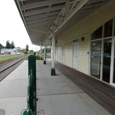
Penguin Railway Station
15.7 km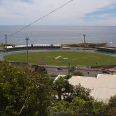
West Park Grandstand
673 m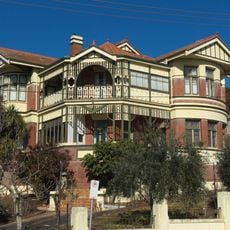
Wyona
58 m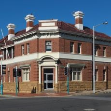
T.G.I.O Building
544 m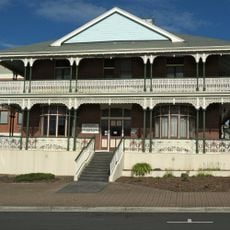
Police Administration Building
505 m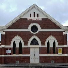
Gospel Hall
574 m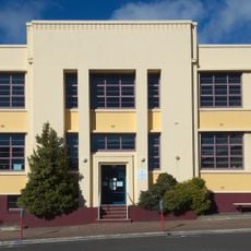
Former Burnie Technical College and Van Diemen's Land Company Cemetery
722 m
School of Domestic Arts, Old Burnie High School
612 m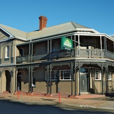
Green's Hotel
678 m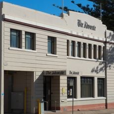
Advocate Building
375 m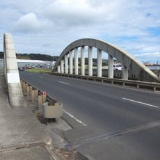
Emu River Road Bridge
2.7 km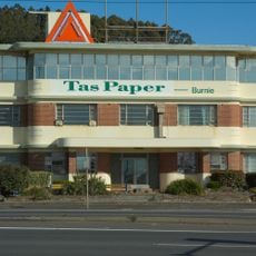
APPM Administration Buildings
1.7 km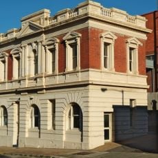
Former Post Office, Burnie
627 m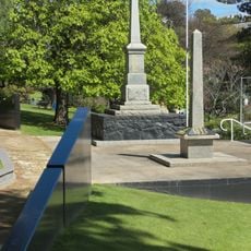
Burnie Inn, Cenotaph & EA Joyce Gates
543 m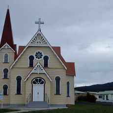
Penguin Uniting Church
15.8 km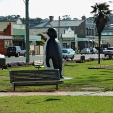
Big Penguin
16 km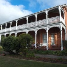
Glen Osborne
1.3 kmVisited this place? Tap the stars to rate it and share your experience / photos with the community! Try now! You can cancel it anytime.
Discover hidden gems everywhere you go!
From secret cafés to breathtaking viewpoints, skip the crowded tourist spots and find places that match your style. Our app makes it easy with voice search, smart filtering, route optimization, and insider tips from travelers worldwide. Download now for the complete mobile experience.

A unique approach to discovering new places❞
— Le Figaro
All the places worth exploring❞
— France Info
A tailor-made excursion in just a few clicks❞
— 20 Minutes