
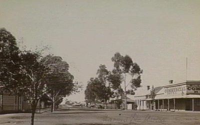
Murtoa, town in Victoria, Australia
Location: Victoria
Location: Shire of Yarriambiack
Elevation above the sea: 141 m
GPS coordinates: -36.60000,142.48333
Latest update: March 3, 2025 22:02

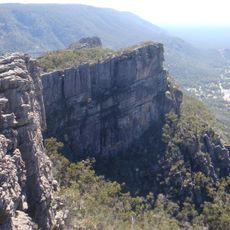
Grampians National Park
68.1 km
Mount Wycheproof
89 km
Wimmera
94.7 km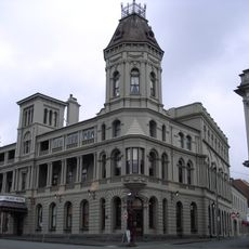
Grampians
74.4 km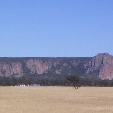
Mount Arapiles
60.3 km
Little Desert National Park
91.5 km
Kara Kara National Park
77.2 km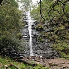
Silverband Falls
66.2 km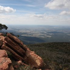
Mount William
77.8 km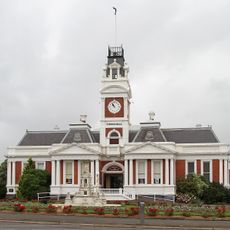
Ararat Gallery TAMA
85.9 km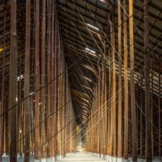
Murtoa Stick Shed
2.6 km
Australian Pinball Museum
78.7 km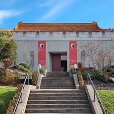
Gum San Chinese Heritage Centre
85.2 km
Horsham botanic gardens
27.6 km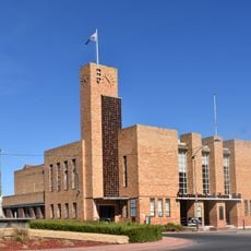
Warracknabeal Town Hall
39.9 km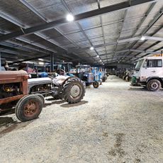
Woods' Farming and Heritage Museum
13.2 km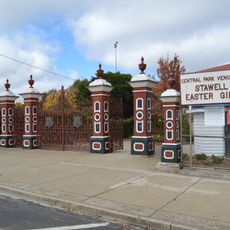
Central Park
57.2 km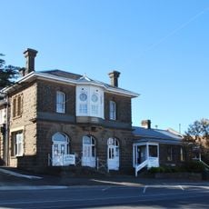
Former Ararat Sub-Treasury and Post Office
85.8 km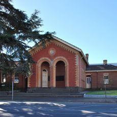
Ararat Court House
85.8 km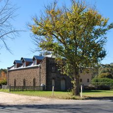
Cobb and Co stables, Buangor
105.1 km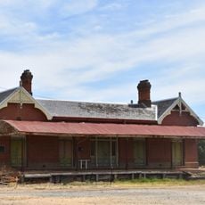
Rupanyup railway station
13.7 km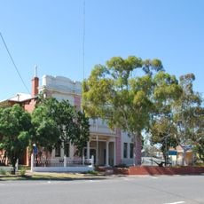
Soldiers and Citizens Memorial Hall and Municipal Chambers
67.5 km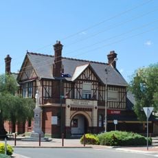
Warracknabeal Post Office
39.7 km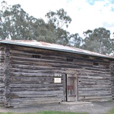
Harrow Log Lock-up
101 km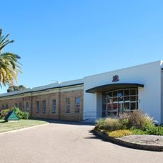
Seppelts Champagne Cellars
70.3 km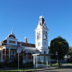
Pyrenees House
85.6 km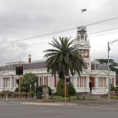
Ararat Civic Precinct
85.9 km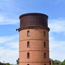
Murtoa Railway Water Tower
2 kmReviews
Visited this place? Tap the stars to rate it and share your experience / photos with the community! Try now! You can cancel it anytime.
Discover hidden gems everywhere you go!
From secret cafés to breathtaking viewpoints, skip the crowded tourist spots and find places that match your style. Our app makes it easy with voice search, smart filtering, route optimization, and insider tips from travelers worldwide. Download now for the complete mobile experience.

A unique approach to discovering new places❞
— Le Figaro
All the places worth exploring❞
— France Info
A tailor-made excursion in just a few clicks❞
— 20 Minutes