
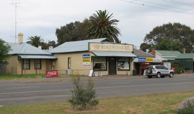
Rokewood, township in Victoria, Australia
Location: Golden Plains Shire
GPS coordinates: -37.92626,143.74275
Latest update: April 17, 2025 14:53
Sovereign Hill
40.6 km
Sovereign Hill
40.6 km
Mount Buninyong
34.2 km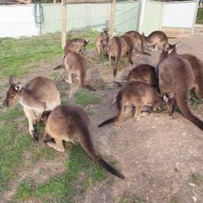
Ballarat Wildlife Park
41.8 km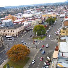
Sturt Street Gardens
41.7 km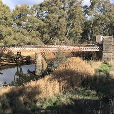
Glenmona Bridge
19 km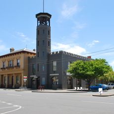
Ballarat City Fire Station
41.8 km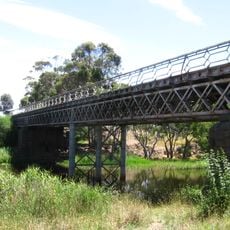
Pitfield Bridge
19 km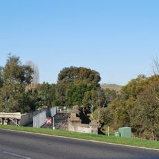
Shelford Bridge
22.8 km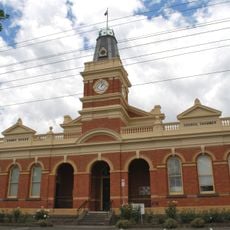
Buninyong Town Hall
33.1 km
Ballarat Bird World
34.3 km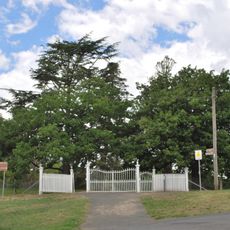
Buninyong botanic gardens
33.2 km
Ballarat Town Hall
41.7 km
Titanic Memorial Bandstand
41.8 km
Union Bank of Australia building
41.7 km
802 Sturt Street Ballarat
41.8 km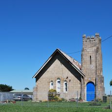
Methodist church
36.8 km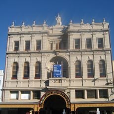
Ballaarat Mechanics Institute
41.8 km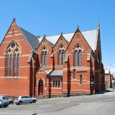
Wesleyan Church
41.5 km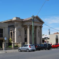
Baptist church
41.7 km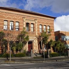
Ballarat East Free Library
41.8 km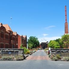
Ballarat School of Mines
41.5 km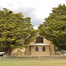
Black Lead Uniting church and hall
31.5 km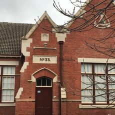
Dana Street Primary School
41.5 km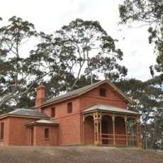
Steiglitz Court House
38.6 km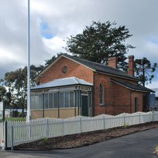
Smythesdale Court House
31.8 km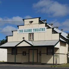
Globe Theatre
41.1 km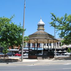
Queen Alexandra Bandstand
41.8 kmReviews
Visited this place? Tap the stars to rate it and share your experience / photos with the community! Try now! You can cancel it anytime.
Discover hidden gems everywhere you go!
From secret cafés to breathtaking viewpoints, skip the crowded tourist spots and find places that match your style. Our app makes it easy with voice search, smart filtering, route optimization, and insider tips from travelers worldwide. Download now for the complete mobile experience.

A unique approach to discovering new places❞
— Le Figaro
All the places worth exploring❞
— France Info
A tailor-made excursion in just a few clicks❞
— 20 Minutes