
Civic Park, park in Victoria, Australia
Location: Victoria
Elevation above the sea: 119 m
GPS coordinates: -38.15736,145.93403
Latest update: April 14, 2025 07:01
Mount Baw Baw
46.4 km
Yarra Valley
51.6 km
Gumbuya Park
26 km
Koo Wee Rup
38.9 km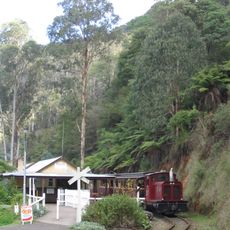
Walhalla Goldfields Railway
49.6 km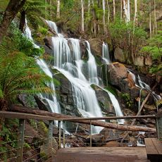
Toorongo Falls Reserve
35.7 km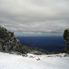
Baw Baw National Park
48.1 km
Blue Rock Dam
27.2 km
French Island National Park
49.2 km
Upper Yarra Reservoir
52.8 km
Old Gippstown
26.6 km
Mount St Gwinear
49 km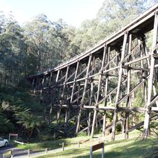
Noojee Trestle Bridge Rail Trail
28.9 km
Mount Beenak
37.3 km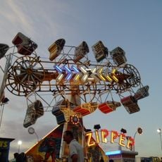
Warragul Show
1.1 km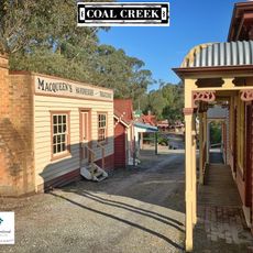
Coal Creek Community Park & Museum
32.9 km
Old Gippstown
26.8 km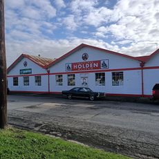
Trafalgar Holden Museum
20.1 km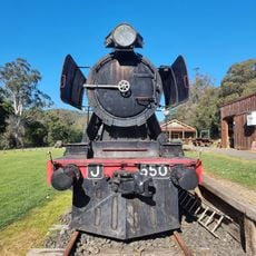
Noojee
29.8 km
Old Walhalla Post Office Museum
51.2 km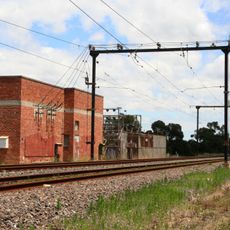
Bunyip Railway Substation
20.5 km
Drouin Primary School
7.5 km
Puffing Billy Railway Menzies Creek Museum
53.4 km
Bunyip Post Office
20.1 km
Traralgon Post Office
53 km
Loren
26.7 km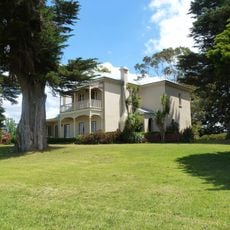
Harewood
44.4 km
The Gurdies
40.1 kmReviews
Visited this place? Tap the stars to rate it and share your experience / photos with the community! Try now! You can cancel it anytime.
Discover hidden gems everywhere you go!
From secret cafés to breathtaking viewpoints, skip the crowded tourist spots and find places that match your style. Our app makes it easy with voice search, smart filtering, route optimization, and insider tips from travelers worldwide. Download now for the complete mobile experience.

A unique approach to discovering new places❞
— Le Figaro
All the places worth exploring❞
— France Info
A tailor-made excursion in just a few clicks❞
— 20 Minutes