
Bombala Shire, former local government area in New South Wales, Australia
Location: New South Wales
Inception: October 1, 1977
Capital city: Bombala
Elevation above the sea: 864 m
Website: http://bombala.nsw.gov.au
GPS coordinates: -36.91667,149.23333
Latest update: March 20, 2025 13:31
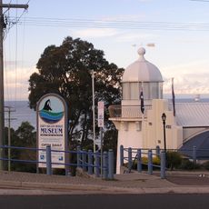
Eden Killer Whale Museum
62.4 km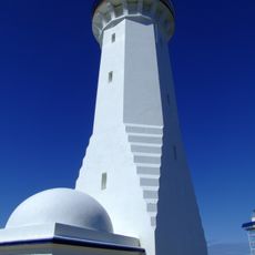
Green Cape Lighthouse
82 km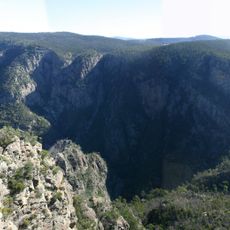
Snowy River National Park
80.1 km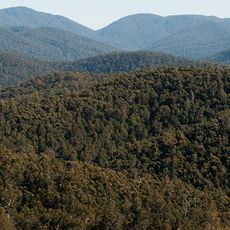
Errinundra National Park
64.2 km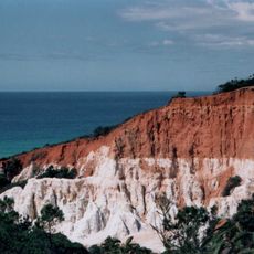
Beowa National Park
73.1 km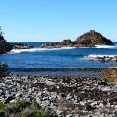
Mimosa Rocks National Park
68.6 km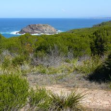
Bournda National Park
62.2 km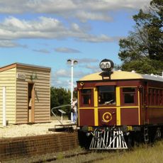
Cooma Monaro Railway
76.2 km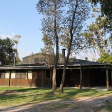
Penders
76.8 km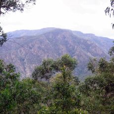
Wadbilliga National Park
73.1 km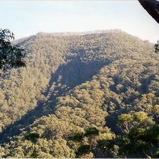
Mount Imlay National Park
52.3 km
Alfred National Park
73.2 km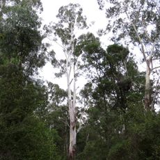
Coopracambra National Park
49.4 km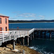
Tathra Wharf
70.6 km
South East Forest National Park
24 km
Baronda
72.1 km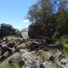
Rock Bolting Development Site
75.9 km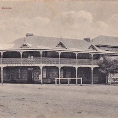
Royal Hotel, Cooma
76.3 km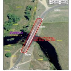
Crankies Plain Bridge
3.8 km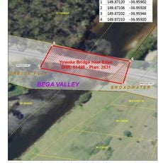
Greigs Flat Bridge over Yowaka River
57 km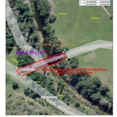
New Buildings Bridge over Towamba River
29.6 km
Courunga
60.1 km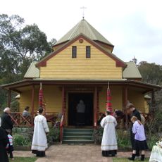
Transfiguration Monastery
0 m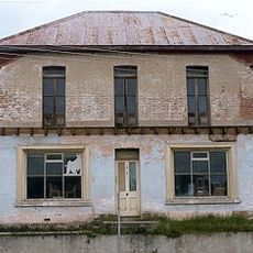
CBC Bank Building, Bega
60.7 km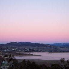
Lake Jindabyne
75.9 km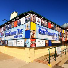
The Corrective Services NSW Museum
76.7 km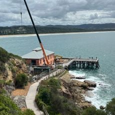
Tathra Wharf Museum
70.6 km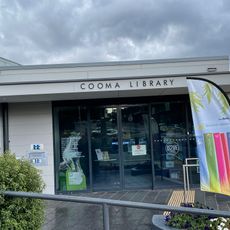
Cooma Library
76.3 kmVisited this place? Tap the stars to rate it and share your experience / photos with the community! Try now! You can cancel it anytime.
Discover hidden gems everywhere you go!
From secret cafés to breathtaking viewpoints, skip the crowded tourist spots and find places that match your style. Our app makes it easy with voice search, smart filtering, route optimization, and insider tips from travelers worldwide. Download now for the complete mobile experience.

A unique approach to discovering new places❞
— Le Figaro
All the places worth exploring❞
— France Info
A tailor-made excursion in just a few clicks❞
— 20 Minutes