
House, house in Upper Moutere, New Zealand
Location: Tasman District
Address: Moutere Highway and Supplejack Valley Road, Upper Moutere
GPS coordinates: -41.26987,173.00692
Latest update: May 11, 2025 06:30

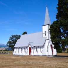
St Michael's Church, Waimea West
11.2 km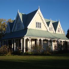
Stafford Place
8.9 km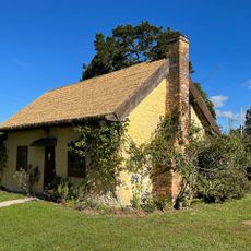
Somerset Farm Settlers Cottage
2.6 km
St Barnabas' Church of Stoke
19.7 km
St Joseph's Church and Cemetery
15.6 km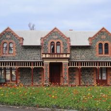
Isel House and Park
20.1 km
Brightwater School
15.1 km
Motueka Public Library
17.8 km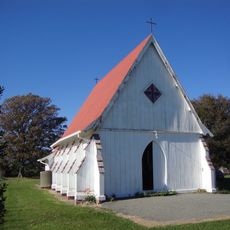
St Alban's Church
12.1 km
Methodist Church
14.3 km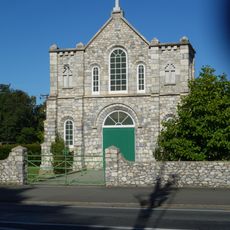
St Pierre Chanel church
18.4 km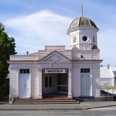
Post Office
15.4 km
Currie House
17.2 km
Motueka Museum
17.7 km
Wakefield Public Library
15.4 km
Manoy House
18.1 km
Samuels Rose Garden
19.1 km
St Andrew's Church
18.1 km
The Gables
11.6 km
Motueka war memorial
17.8 km
Motueka Memorial Hall
17.8 km
Steffensen's Buildings
17.7 km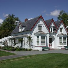
Broadgreen House
19.1 km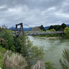
Peninsula Bridge
12.8 km
The Gables
17.5 km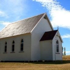
Churchhill Church, Dovedale
9.4 km
Redwood Racing Stables Main Block
8.8 km
Richmond Library
16.6 kmVisited this place? Tap the stars to rate it and share your experience / photos with the community! Try now! You can cancel it anytime.
Discover hidden gems everywhere you go!
From secret cafés to breathtaking viewpoints, skip the crowded tourist spots and find places that match your style. Our app makes it easy with voice search, smart filtering, route optimization, and insider tips from travelers worldwide. Download now for the complete mobile experience.

A unique approach to discovering new places❞
— Le Figaro
All the places worth exploring❞
— France Info
A tailor-made excursion in just a few clicks❞
— 20 Minutes