
Gunfighter Pa, RANGITIKEI
Location: Rangitikei District
GPS coordinates: -40.21611,175.31938
Latest update: April 22, 2025 21:47

Manfeild Autocourse
20.4 km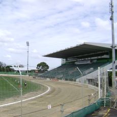
Arena Manawatu
28.6 km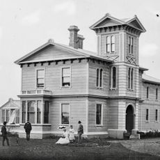
Westoe
15 km
Pationa
28.8 km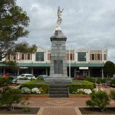
War Memorial
20.9 km
Commercial Building, 10, 11, 14 Manchester Street And Manchester Street, Feilding
20.8 km
Dominion Buildings
21 km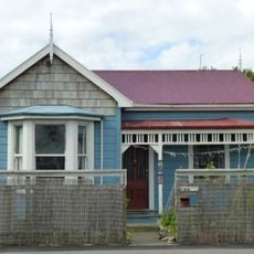
House
21.1 km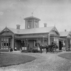
Cluny Park Station Homestead
25.8 km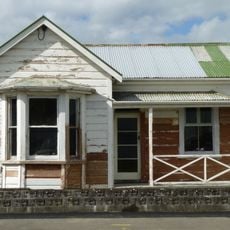
House
21.1 km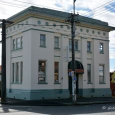
Public Trust Building
17.2 km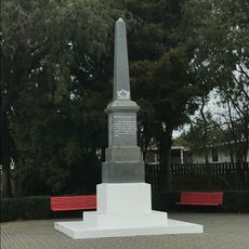
Fallen Soldiers' Memorial
7.4 km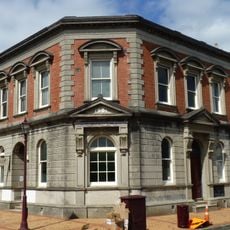
Bank of New Zealand
21 km
House
21.1 km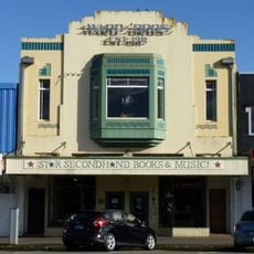
Ward Brothers Building
29 km
Soldiers Club Building
29 km
Cluny Park Station Stables
25.8 km
Commercial Building, 70 Manchester Street
20.9 km
Commercial Building
20.9 km
Kaingahou
28.3 km
House
21.1 km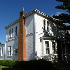
House
27.9 km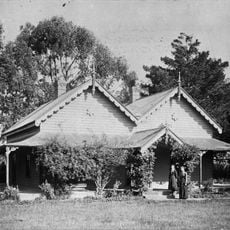
Woolahra
25.2 km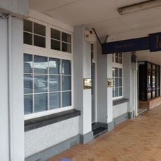
Feilding Jockey Club
21 km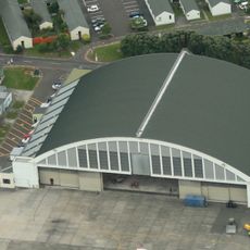
Hangar No.2 and Hangar No.3 RNZAF Base Ohakea
5.4 km
Commercial Building
20.9 km
Commercial Building
20.9 km
Carthews Arcade
20.9 kmReviews
Visited this place? Tap the stars to rate it and share your experience / photos with the community! Try now! You can cancel it anytime.
Discover hidden gems everywhere you go!
From secret cafés to breathtaking viewpoints, skip the crowded tourist spots and find places that match your style. Our app makes it easy with voice search, smart filtering, route optimization, and insider tips from travelers worldwide. Download now for the complete mobile experience.

A unique approach to discovering new places❞
— Le Figaro
All the places worth exploring❞
— France Info
A tailor-made excursion in just a few clicks❞
— 20 Minutes