
War Memorial, memorial in Dannevirke, New Zealand
Location: Tararua District
Address: High Street, Dannevirke
GPS coordinates: -40.20962,176.11016
Latest update: March 12, 2025 00:13
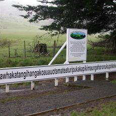
Taumatawhakatangihangakōauauotamateapōkaiwhenuakitānatahu
39.6 km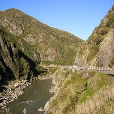
Manawatu Gorge
29.2 km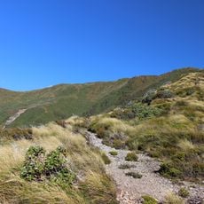
Ruahine Forest Park
22.8 km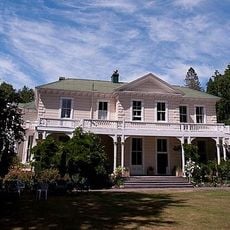
Oruawharo Homestead
30.9 km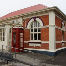
Courthouse
964 m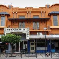
Arcadia Picture Theatre
987 m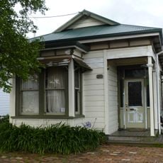
House
43.7 km
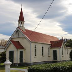
St Oran's Church
42.2 km
St David's Church
17.9 km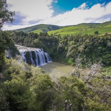
Waihi Falls
28.2 km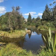
Pohangina Wetlands
27.3 km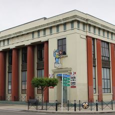
Public Trust Office
854 m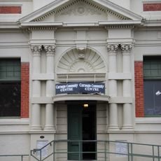
Carnegie library, Dannevirke
759 m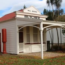
Butcher’s Shop
42.1 km
Poodles Bazaar
42.2 km
Bank of New Zealand Building
891 m
Post Office
948 m
Makirikiri Scenic Reserve
2.6 km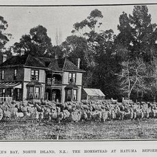
Woburn Station Homestead
41.4 km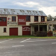
Coles Joinery Factory
42.2 km
Waihipai Domain
2.9 km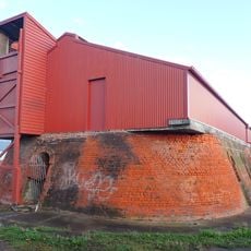
Hoffman Continuous Kiln
43.1 km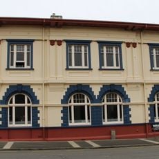
Westpac Building
918 m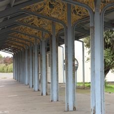
Dannevirke Railway Station Canopy
1.2 km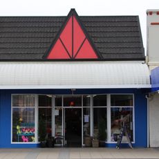
Casual Company Building
1.2 km
Neagles Building
1.2 km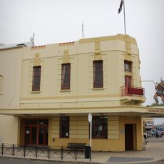
Council Chambers and Town Hall
726 mReviews
Visited this place? Tap the stars to rate it and share your experience / photos with the community! Try now! You can cancel it anytime.
Discover hidden gems everywhere you go!
From secret cafés to breathtaking viewpoints, skip the crowded tourist spots and find places that match your style. Our app makes it easy with voice search, smart filtering, route optimization, and insider tips from travelers worldwide. Download now for the complete mobile experience.

A unique approach to discovering new places❞
— Le Figaro
All the places worth exploring❞
— France Info
A tailor-made excursion in just a few clicks❞
— 20 Minutes