
Otaia Pā, 131 Onehunga Road and Windmill Road, Woolshed Road and Quarantine Road, Bay View, NAPIER
Location: Napier City
Address: 131 Onehunga Road and Windmill Road, Woolshed Road and Quarantine Road, Bay View, Napier
GPS coordinates: -39.43519,176.85396
Latest update: May 8, 2025 13:54
Napier Hill
6.9 km
Park Island, Napier
8.1 km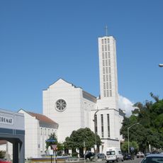
Waiapu Cathedral of Saint John the Evangelist, Napier
8.1 km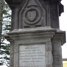
1897 Flood Heroism Memorial
8 km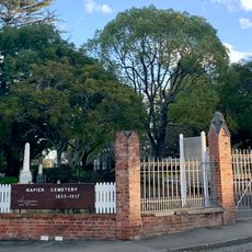
Old Napier Cemetery
7.3 km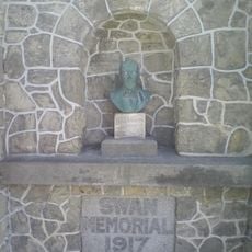
Swan Memorial Pool Shelter
8 km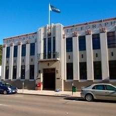
Daily Telegraph Building
8.1 km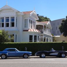
Hawke's Bay Club
8.1 km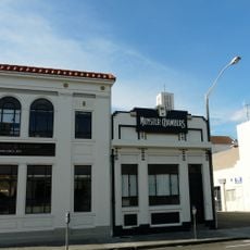
Munster Chambers
8.1 km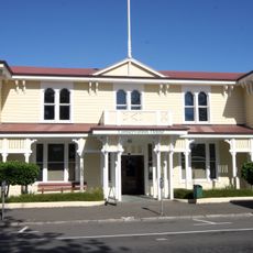
Napier Courthouse
8.2 km
Municipal Theatre
8 km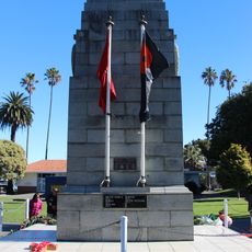
Napier Cenotaph
8.1 km
Napier Fire Station Flats
8 km
Briascos' Buildings
8.1 km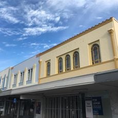
C E Rogers Building
8.1 km
Public Trust Building
8.1 km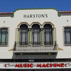
Harston's Building
8.1 km
Ministry of Transport Building
8.1 km
Resthaven
7.1 km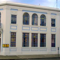
Sainsbury, Logan and Williams Building
8.1 km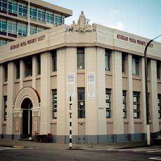
A.M.P. Building
8.1 km
Kidson's Corner Building
8.2 km
National Tobacco Company Building
6.4 km
The County Hotel
8.1 km
Fire Chief's House
8 km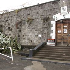
Napier Prison
7.8 km
Colenso House
7.8 km
Hildebrandt's Building
8.1 kmReviews
Visited this place? Tap the stars to rate it and share your experience / photos with the community! Try now! You can cancel it anytime.
Discover hidden gems everywhere you go!
From secret cafés to breathtaking viewpoints, skip the crowded tourist spots and find places that match your style. Our app makes it easy with voice search, smart filtering, route optimization, and insider tips from travelers worldwide. Download now for the complete mobile experience.

A unique approach to discovering new places❞
— Le Figaro
All the places worth exploring❞
— France Info
A tailor-made excursion in just a few clicks❞
— 20 Minutes