
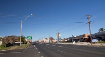
Whylandra Street, road in Dubbo, NSW
Location: Dubbo Regional Council
Location: New South Wales
GPS coordinates: -32.24849,148.59296
Latest update: September 23, 2025 12:58
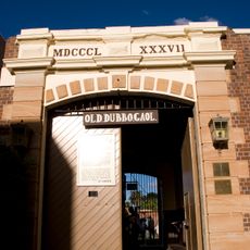
Old Dubbo Gaol
936 m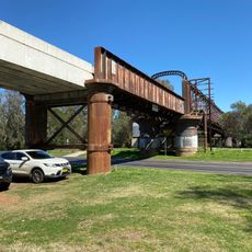
Macquarie River Railway Bridge, Dubbo
831 m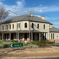
Milestone Hotel, Dubbo
745 m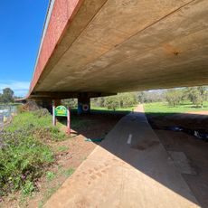
LH Ford Bridge
379 m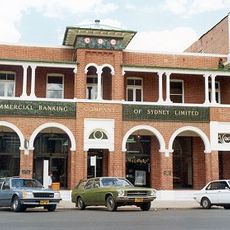
National Australia Bank building, Dubbo
868 m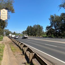
Emile Serisier Bridge
892 m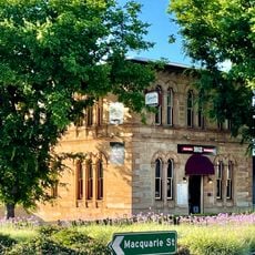
Talbragar Shire Council Chambers
741 m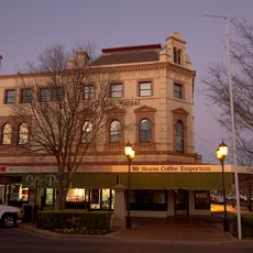
Colonial Mutual Life building, Dubbo
867 m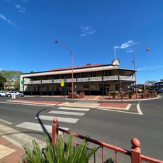
Castlereagh Hotel
1.1 km
Western Plains Cultural Centre
1.6 km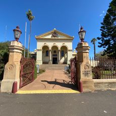
Dubbo Court House
1 km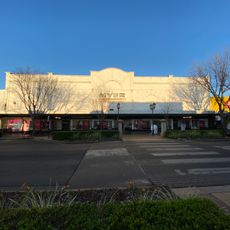
The Western Stores
829 m
Wiradjuri Park
865 m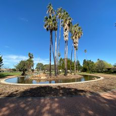
Victoria Park
1.5 km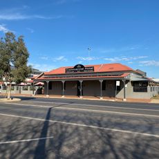
Commercial Hotel
972 m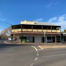
Rathgorrah
987 m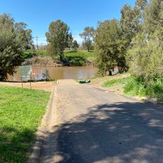
Lions Park, West boat ramp
335 m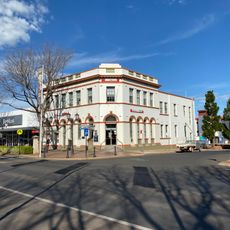
Westpac Bank building
779 m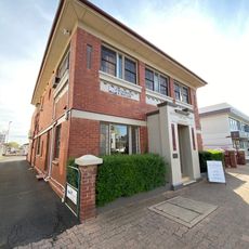
Woonah Court
886 m
Dubbo Library
911 m
Station Master's Residence
1.4 km
Old Dubbo Post Office
870 m
Old Bank building
788 m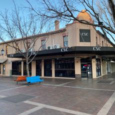
Fisher's Corner
834 m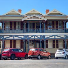
Dubbo Lands Office
1.1 km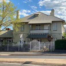
Westbury
963 m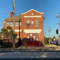
Former Dubbo Fire Station
1.3 km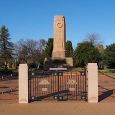
Dubbo War Memorial
1.3 kmReviews
Visited this place? Tap the stars to rate it and share your experience / photos with the community! Try now! You can cancel it anytime.
Discover hidden gems everywhere you go!
From secret cafés to breathtaking viewpoints, skip the crowded tourist spots and find places that match your style. Our app makes it easy with voice search, smart filtering, route optimization, and insider tips from travelers worldwide. Download now for the complete mobile experience.

A unique approach to discovering new places❞
— Le Figaro
All the places worth exploring❞
— France Info
A tailor-made excursion in just a few clicks❞
— 20 Minutes