
Cabramatta, state electoral district of New South Wales, Australia
Location: New South Wales
Inception: 1981
GPS coordinates: -33.89100,150.91400
Latest update: March 3, 2025 11:32
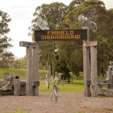
Fairfield Showground
2.8 km
Brickmakers Creek-Lawrence Hargrave Road bridge
2.7 km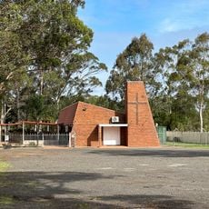
St. Elias Speleota’s Spanish Catholic Church of Australia
2.6 km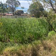
Green Valley Creek
2.6 km
Guthega Crescent
2.8 km
Berridale Place
2.9 km
Fairfield City Community Church
2.6 km
Warwick Farm Reserve
2.5 km
Liverpool (Mount Misery) Reservoir (WS 0061)
2.4 km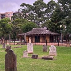
Liverpool Pioneers' Memorial Park
2.9 km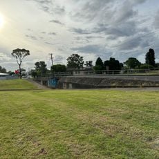
Logan Park
2.8 km
Tramantana Park
2.7 km
The Church of Jesus Christ of Latter-day Saints
2.6 km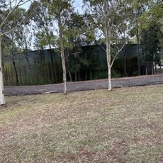
Mount Pritchard Reservoir
2.4 km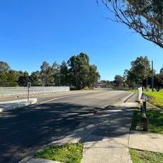
Kembla Street Bridge
1.7 km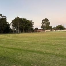
Durrant Oval
2.5 km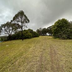
Lions Lookout
2.4 km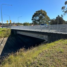
Hamilton Road bridge
2.6 km
McMillan Street, Heckenberg
2.8 km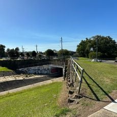
King Road bridge
1.9 km
Wakeley Reserve
1.8 km
Cabramatta Creek-Elizabeth Drive bridge
2.6 km
Barham Street
2.9 km
1st Green Valley Scouts
2.8 km
Esperance Reserve
2.1 km
Gangurlin Street
2.9 km
Matthew Avenue
2.9 km
Adaminaby Street
2.7 kmReviews
Visited this place? Tap the stars to rate it and share your experience / photos with the community! Try now! You can cancel it anytime.
Discover hidden gems everywhere you go!
From secret cafés to breathtaking viewpoints, skip the crowded tourist spots and find places that match your style. Our app makes it easy with voice search, smart filtering, route optimization, and insider tips from travelers worldwide. Download now for the complete mobile experience.

A unique approach to discovering new places❞
— Le Figaro
All the places worth exploring❞
— France Info
A tailor-made excursion in just a few clicks❞
— 20 Minutes