
Werrington County, locality in New South Wales, Australia
Location: New South Wales
Location: City of Penrith
Location: City of Penrith
Location: Claremont
Elevation above the sea: 42 m
GPS coordinates: -33.74694,150.74861
Latest update: April 8, 2025 03:17
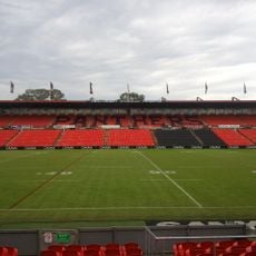
Penrith Stadium
5.8 km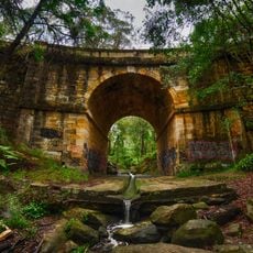
Lennox Bridge, Glenbrook
10.8 km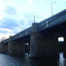
Victoria Bridge
6.2 km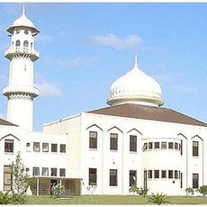
Baitul Huda, Sydney
9 km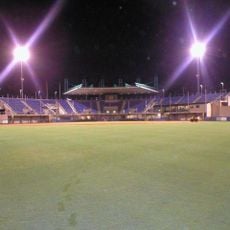
Blacktown Baseball Stadium
10.2 km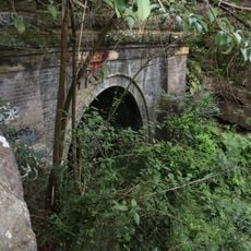
Glenbrook Tunnel
10.9 km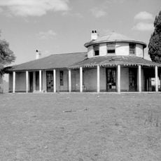
Bungarribee Homestead Site
11.9 km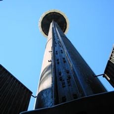
Space Probe
11 km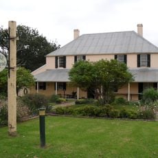
Mamre, St Marys
5.1 km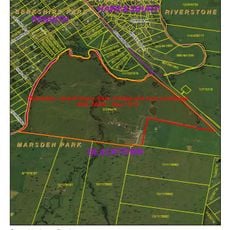
Clydesdale, Marsden Park
9 km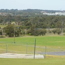
Rooty Hill
10.2 km
Blacktown Native Institution Site
9.2 km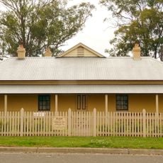
The Manse, Mount Druitt
6.5 km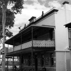
Imperial Hotel, Rooty Hill
9.2 km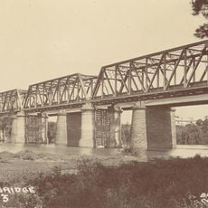
Emu Plains Underbridge
6.2 km
Colebee and Nurragingy Land Grant
9.6 km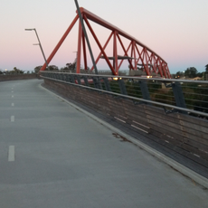
Yandhai Nepean Crossing
6.2 km
Neoblie
7.2 km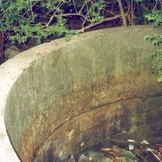
Government Depot Site, Rooty Hill
9.9 km
Glenbrook Native Plant Reserve
11.6 km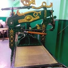
Penrith Museum of Printing
5.7 km
Museum of Fire
5.1 km
Zone Bowling
8.2 km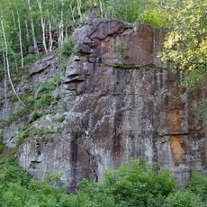
Robinson Park
4.8 km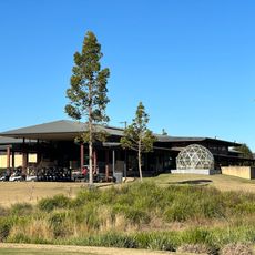
Twin Creeks Golf & Country Club
10 km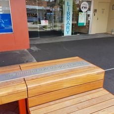
St Marys Library
3.4 km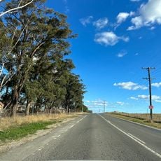
Luddenham Road
11.2 km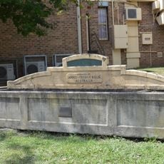
Horse trough
11.9 kmReviews
Visited this place? Tap the stars to rate it and share your experience / photos with the community! Try now! You can cancel it anytime.
Discover hidden gems everywhere you go!
From secret cafés to breathtaking viewpoints, skip the crowded tourist spots and find places that match your style. Our app makes it easy with voice search, smart filtering, route optimization, and insider tips from travelers worldwide. Download now for the complete mobile experience.

A unique approach to discovering new places❞
— Le Figaro
All the places worth exploring❞
— France Info
A tailor-made excursion in just a few clicks❞
— 20 Minutes