
Warialda, parish of Burnett County, New South Wales, Australia
Location: Burnett
Location: Gwydir Shire
GPS coordinates: -29.54833,150.56778
Latest update: March 3, 2025 00:21
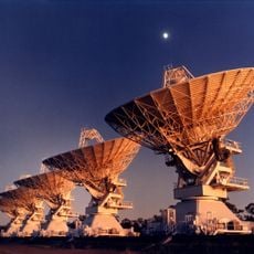
Australia Telescope Compact Array
129.9 km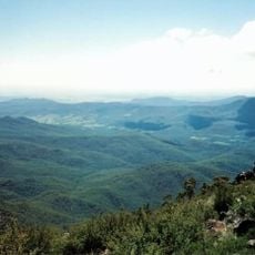
Mount Kaputar National Park
93.9 km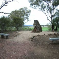
Myall Creek Massacre and Memorial Site
29.4 km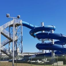
Moree Baths and Swimming Pool
70.4 km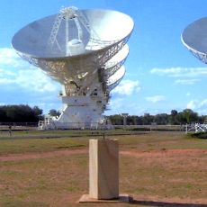
Paul Wild Observatory
129.1 km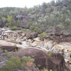
Kwiambal National Park
64 km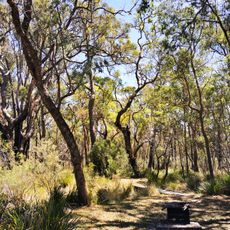
Kings Plains National Park
77.8 km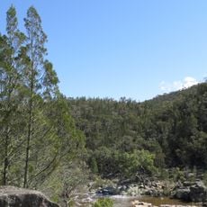
Warrabah National Park
117.5 km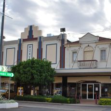
Roxy Theatre and Peters Greek Cafe Complex
35.7 km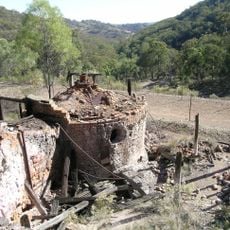
Ottery Mine
107 km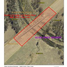
Severn River railway bridge, Dundee
119.7 km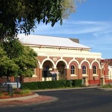
Narrabri Post Office and former Telegraph Office
114.9 km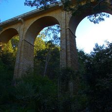
Manilla railway underbridges
122.7 km
Inverell Post Office
58.5 km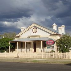
Narrabri Gaol and Residence
115 km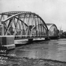
Goondiwindi Border Bridge
114 km
Customs House Museum
114.1 km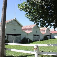
Glen Innes Showground
115.8 km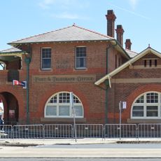
Glen Innes Post and Telegraph Office
115 km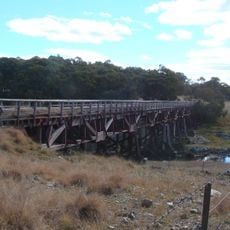
Yarraford Rail Bridge over Beardy River
117.9 km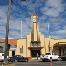
Goondiwindi Civic Centre
114.3 km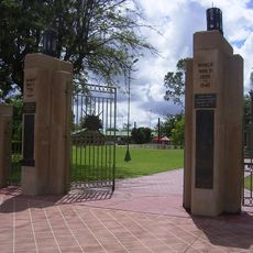
Goondiwindi War Memorial
114.5 km
National Transport Museum
60.5 km
Emmaville Mining Museum
100.5 km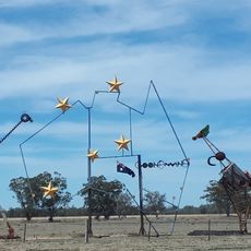
Big Map of Australia
116.6 km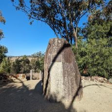
Myall Creek Memorial Site
29.5 km
Wing Hing Long Museum
76.9 km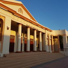
Moree Library
71 kmReviews
Visited this place? Tap the stars to rate it and share your experience / photos with the community! Try now! You can cancel it anytime.
Discover hidden gems everywhere you go!
From secret cafés to breathtaking viewpoints, skip the crowded tourist spots and find places that match your style. Our app makes it easy with voice search, smart filtering, route optimization, and insider tips from travelers worldwide. Download now for the complete mobile experience.

A unique approach to discovering new places❞
— Le Figaro
All the places worth exploring❞
— France Info
A tailor-made excursion in just a few clicks❞
— 20 Minutes