
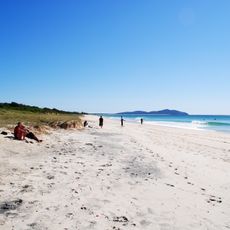
Oxley Park, park in New South Wales, Australia; geonames ID = 8158982
Location: New South Wales
Elevation above the sea: 4 m
GPS coordinates: -32.16528,152.50111
Latest update: April 16, 2025 12:48
Booti Booti National Park
9.2 km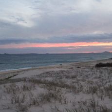
Myall Lakes National Park
42.7 km
Sugarloaf Point Light
30.9 km
Crowdy Bay National Park
40.3 km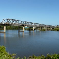
Martin Bridge
27.8 km
Ghin-Doo-Ee National Park
39.2 km
Coorabakh National Park
50.4 km
Crowdy Head Light
43 km
Middle Brother National Park
56.8 km
Stroud House
56.8 km
St Andrew's Presbyterian Church, Wingham
35 km
Wingham Post Office
34.9 km
St John the Evangelist Anglican Church, Stroud
56.9 km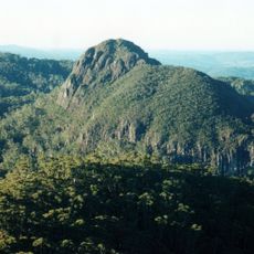
Big Nellie Mountain
51.8 km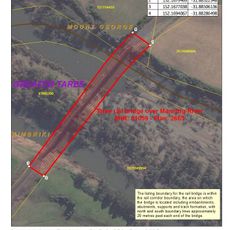
Manning River railway bridge, Taree
44.3 km
National Motorcycle Museum
13.6 km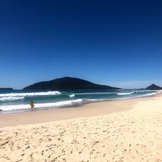
Bennetts Beach
59 km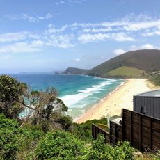
Blueys Beach
21.2 km
Great Lakes Museum
1.2 km
Jerrys Creek
50.6 km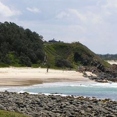
Pebbley Beach
2.2 km
Brimbin Nature Reserve
36.5 km
Wingham Library
35 km
Harrington Public School
37.3 km
Sandbar Beach
25.1 km
Wingham Brush Public School
34.9 km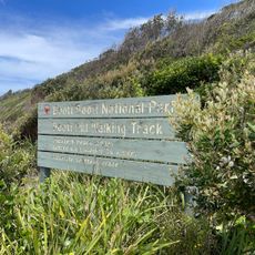
Seven Mile Beach
12.5 km
Old Bar Beach
31.5 kmReviews
Visited this place? Tap the stars to rate it and share your experience / photos with the community! Try now! You can cancel it anytime.
Discover hidden gems everywhere you go!
From secret cafés to breathtaking viewpoints, skip the crowded tourist spots and find places that match your style. Our app makes it easy with voice search, smart filtering, route optimization, and insider tips from travelers worldwide. Download now for the complete mobile experience.

A unique approach to discovering new places❞
— Le Figaro
All the places worth exploring❞
— France Info
A tailor-made excursion in just a few clicks❞
— 20 Minutes