
Fairy Mount, parish of Rous County, New South Wales, Australia
Location: Rous
Location: Kyogle Council
GPS coordinates: -28.56500,153.05111
Latest update: April 23, 2025 17:51
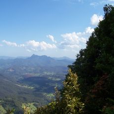
Mount Warning
28.5 km
Tweed Volcano
28.3 km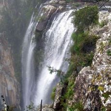
Minyon Falls
33.5 km
Nightcap National Park
26.4 km
O'Reilly's Guesthouse
38.1 km
Border Ranges National Park
17.6 km
Cougal Spiral
24.9 km
Clarrie Hall Dam
28.6 km
Rocky Creek Dam
30.2 km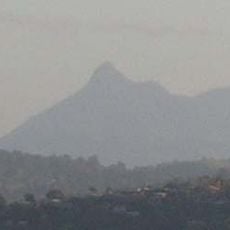
Wollumbin National Park
28.9 km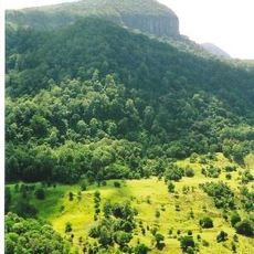
Numinbah Nature Reserve
40.9 km
Canning Downs
37.8 km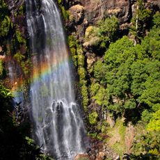
Morans Falls
37.9 km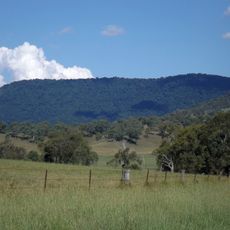
Mount Chinghee National Park
30.8 km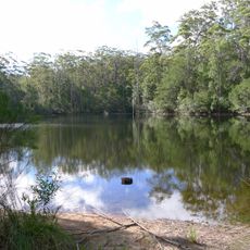
Mount Jerusalem National Park
31.9 km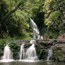
Elabana Falls
37.2 km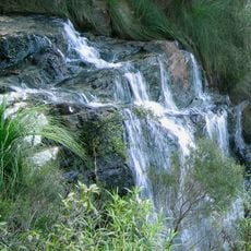
Goomoolahra Falls
44.4 km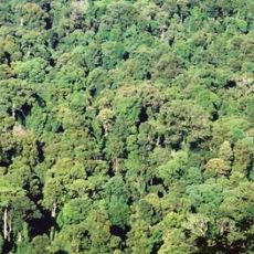
Toonumbar National Park
31.7 km
Richmond Range National Park
33.1 km
Binna Burra Cultural Landscape
43.3 km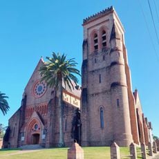
St Carthage's Cathedral
35 km
Tweed River Art Gallery
41.8 km
Mullumbimby Hydro-electric Power Station Complex
39 km
Tulloona
38.2 km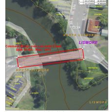
Colemans Bridge
34.6 km
Brunswick Valley Heritage Park
43.8 km
Springbrook State School
45 km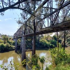
Leycester Creek railway bridge
34.4 kmReviews
Visited this place? Tap the stars to rate it and share your experience / photos with the community! Try now! You can cancel it anytime.
Discover hidden gems everywhere you go!
From secret cafés to breathtaking viewpoints, skip the crowded tourist spots and find places that match your style. Our app makes it easy with voice search, smart filtering, route optimization, and insider tips from travelers worldwide. Download now for the complete mobile experience.

A unique approach to discovering new places❞
— Le Figaro
All the places worth exploring❞
— France Info
A tailor-made excursion in just a few clicks❞
— 20 Minutes