
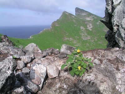
Tanager Peak, peak on the island of Nihoa in Hawaii, United States
Location: Honolulu County
Elevation above the sea: 260 m
GPS coordinates: 23.06090,-161.91587
Latest update: March 4, 2025 10:34
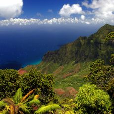
Nā Pali Coast State Park
253.3 km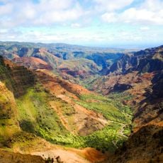
Waimea Canyon State Park
257 km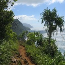
Kalalau Trail
254.6 km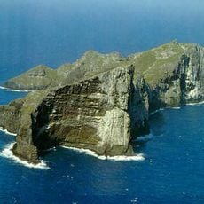
Nihoa
623 m
Russian Fort Elizabeth
262.4 km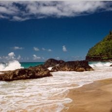
Hanakapiai Beach
256.3 km
WWVH
251.5 km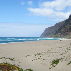
Polihale State Park
247.3 km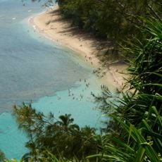
Haʻena State Park
257.1 km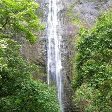
Hanakapiai Falls
257.6 km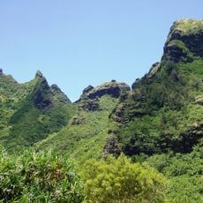
Makana
257.7 km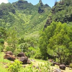
Limahuli Garden and Preserve
258 km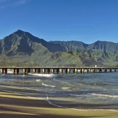
Hanalei Pier
265.9 km
Alakaʻi Wilderness Preserve
264.5 km
Cook Landing Site
262.3 km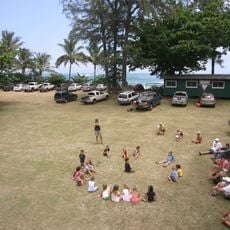
Camp Naue YMCA
260 km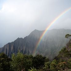
Koke'e State Park
254 km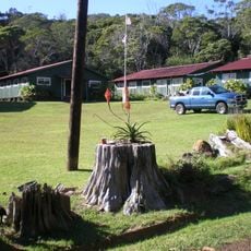
Civilian Conservation Corps Camp in Koke'e State Park
253.6 km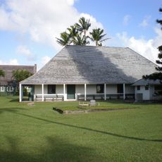
Waioli Mission District
265.9 km
Bishop National Bank of Hawaii
261.6 km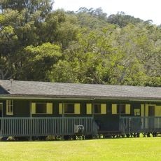
Camp Sloggett
254.8 km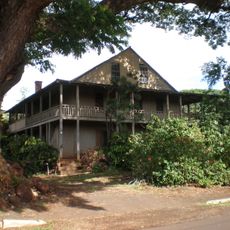
Gulick-Rowell House
261.2 km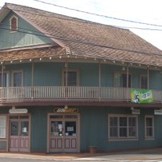
Yamase Building
261.3 km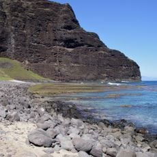
Nualolo Kai Beach
248.8 km
Kahana Valley
263.9 km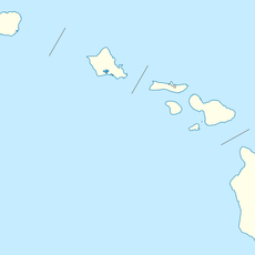
Kahuama‘a Flat
255 km
Miloliʻi Beach
247.5 km
Maniniholo Dry Cave
259 kmReviews
Visited this place? Tap the stars to rate it and share your experience / photos with the community! Try now! You can cancel it anytime.
Discover hidden gems everywhere you go!
From secret cafés to breathtaking viewpoints, skip the crowded tourist spots and find places that match your style. Our app makes it easy with voice search, smart filtering, route optimization, and insider tips from travelers worldwide. Download now for the complete mobile experience.

A unique approach to discovering new places❞
— Le Figaro
All the places worth exploring❞
— France Info
A tailor-made excursion in just a few clicks❞
— 20 Minutes