
Tecuala, human settlement in Mexico
Location: Nayarit
Capital city: Tecuala
Elevation above the sea: 8 m
GPS coordinates: 22.39722,-105.45722
Latest update: March 3, 2025 01:53
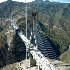
Baluarte Bridge
130.4 km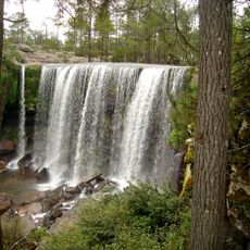
Mexiquillo
149.3 km
Rincón de Guayabitos
154 km
VidantaWorld
190.5 km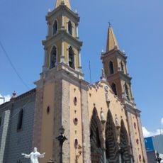
Cathedral Basilica of the Immaculate Conception, Mazatlán
133.4 km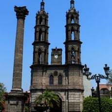
Catedral de Nuestra Señora de la Asunción
114.6 km
Volcán San Juan
114.4 km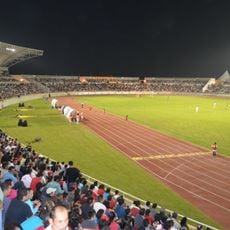
Estadio Arena Cora
121.4 km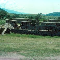
Ixtlán del Rio
189.9 km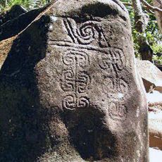
Altavista petroglyph complex
147.3 km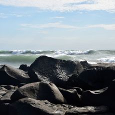
Las Labradas
191.2 km
Ángela Peralta Theatre
133.3 km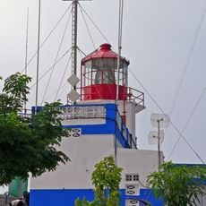
Mazatlán Lighthouse
132.1 km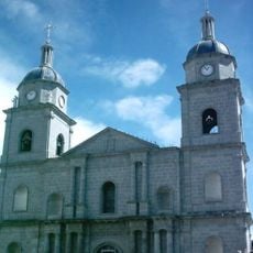
Roman Catholic Territorial Prelature of El Salto
153.9 km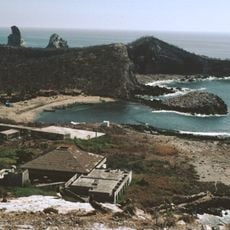
Isla Isabel National Park
75.4 km
Observatorio Mazatlán 1873
132.8 km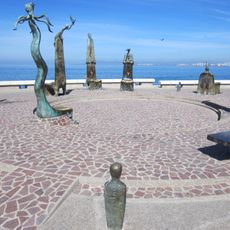
The Rotunda by the Sea
200.1 km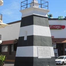
Malecón Lighthouse
200.3 km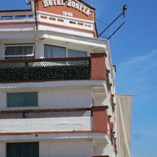
Hotel Rosita
199.8 km
Hotel Belmar
133.5 km
Las Labradas
191.2 km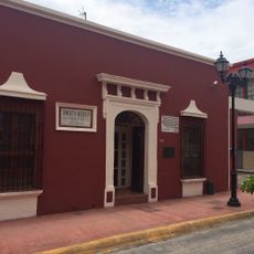
Casa Museo Amado Nervo
114.6 km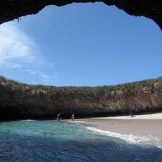
Playa del Amor
188.8 km
Casa Haas
133.4 km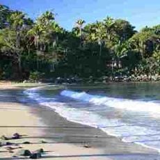
Playa Chacala
139.5 km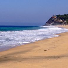
Playa San Pancho
166.2 km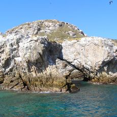
Islas Marietas National Park
189.5 km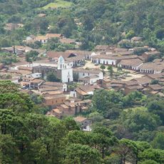
Historic centre of San Sebastián del Oeste
192.7 kmReviews
Visited this place? Tap the stars to rate it and share your experience / photos with the community! Try now! You can cancel it anytime.
Discover hidden gems everywhere you go!
From secret cafés to breathtaking viewpoints, skip the crowded tourist spots and find places that match your style. Our app makes it easy with voice search, smart filtering, route optimization, and insider tips from travelers worldwide. Download now for the complete mobile experience.

A unique approach to discovering new places❞
— Le Figaro
All the places worth exploring❞
— France Info
A tailor-made excursion in just a few clicks❞
— 20 Minutes