
Mazatán, municipality of Sonora, Mexico
Location: Sonora
Inception: October 11, 1934
Capital city: Mazatán
GPS coordinates: 28.93333,-110.16667
Latest update: April 3, 2025 08:18
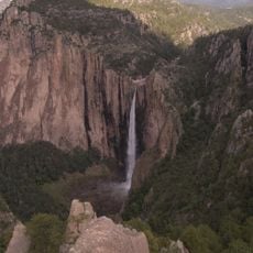
Basaseachic Falls
208.9 km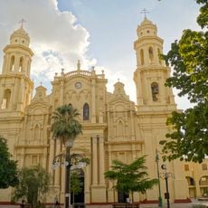
Catedral de Hermosillo
78.8 km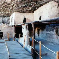
Cuarenta Casas
205.9 km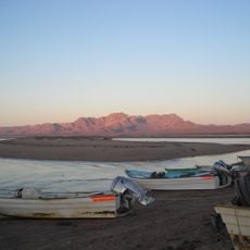
Islands and Protected Areas of the Gulf of California
197.6 km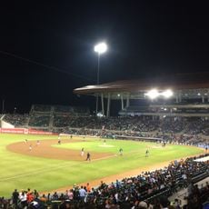
Estadio Sonora
87.4 km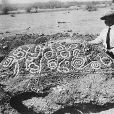
Esperanza Stone
64.4 km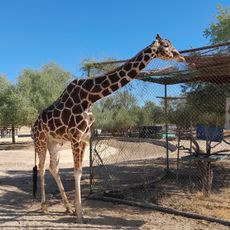
Ecological Center of Sonora
76.7 km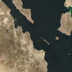
Estrecho del Infiernillo
195.7 km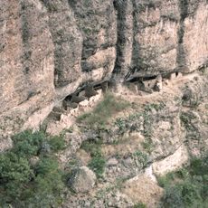
Huápoca
179.7 km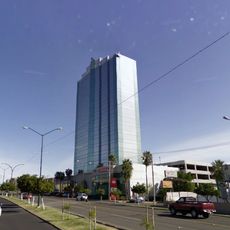
Hermosillo Tower
77.5 km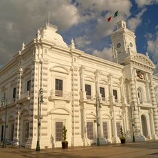
Government Palace of Sonora
78.6 km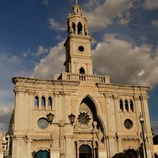
Our Lady of Mount Carmel Church
77.8 km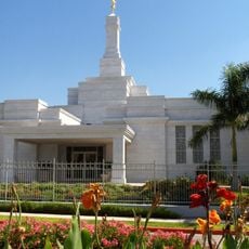
Hermosillo Sonora México Temple
78.3 km
Sacred Heart of Jesus Cathedral, Ciudad Obregón
161.5 km
Sonora Museum of Art
78.4 km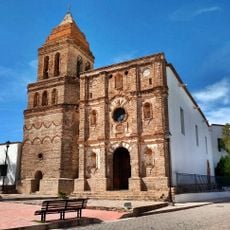
Temple of Our Lady of Assumption
156.2 km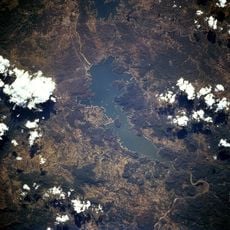
Lake Oviáchic
119.4 km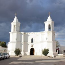
Templo de San Pedro y San Pablo
99.6 km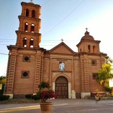
Temple of Saint Rose of Lima
154 km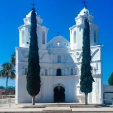
Our Lady of Loreto Church
139.1 km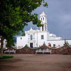
Temple of Our Lady of Assumption of Mary
198.4 km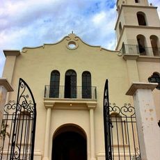
Temple of Our Lady of Los Remedios
119.7 km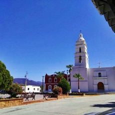
Temple of Our Father of Saint Ignatius of Loyola
74.8 km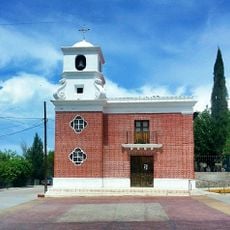
Temple of Saint Michael the Archangel
190.2 km
Ruins of the temple of the Holy Kings
164.2 km
Temple of the Lord of Retirement
79.9 km
Bacanora State Museum
74.8 km
Los Alisos Brook
94.8 kmReviews
Visited this place? Tap the stars to rate it and share your experience / photos with the community! Try now! You can cancel it anytime.
Discover hidden gems everywhere you go!
From secret cafés to breathtaking viewpoints, skip the crowded tourist spots and find places that match your style. Our app makes it easy with voice search, smart filtering, route optimization, and insider tips from travelers worldwide. Download now for the complete mobile experience.

A unique approach to discovering new places❞
— Le Figaro
All the places worth exploring❞
— France Info
A tailor-made excursion in just a few clicks❞
— 20 Minutes