
Coronado National Memorial
79.2 km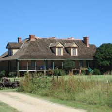
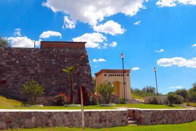
San Rafael Ranch
94.5 km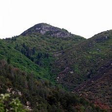
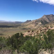
Miller Peak
83.9 km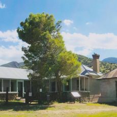
Brown Canyon Ranch
92.6 km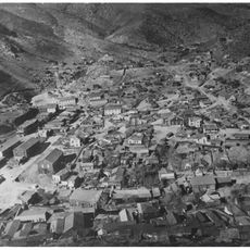
Bisbee Historic District
85.6 km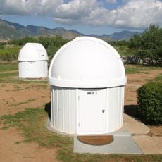
Hereford Arizona Observatory
88.8 km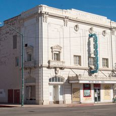
Grand Theatre
85.9 km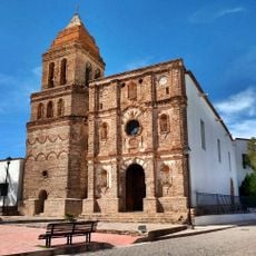
Temple of Our Lady of Assumption
40.8 km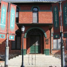
Phelps Dodge General Office Building
85.5 km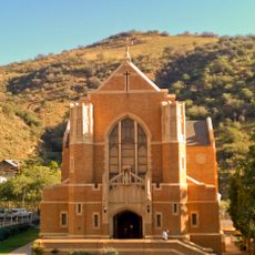
St. Patrick's Roman Catholic Church
85.7 km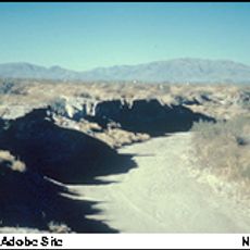
Double Adobe Site
87.6 km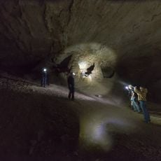
Coronado cave
78.5 km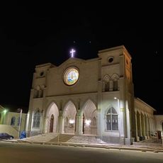
Parroquia de Guadalupe en Cananea Sonora
44.1 km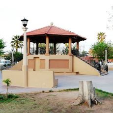
Plaza Azueta
84.3 km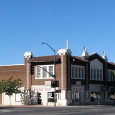
Douglas Historic District
86.2 km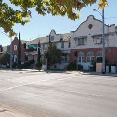
El Paso and Southwestern Railroad YMCA
85.9 km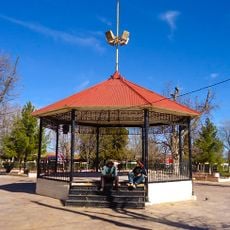
Plaza Juárez
44.1 km
Bisbee Residential Historic District
85.6 km
Bisbee Woman's Club Clubhouse
85.3 km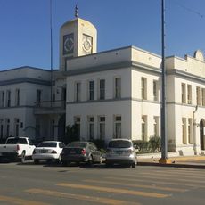
Cananea city hall
43.8 km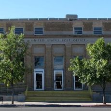
United States Post Office and Customs House–Douglas Main
86.2 km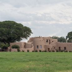
Kinjockity Ranch
81.3 km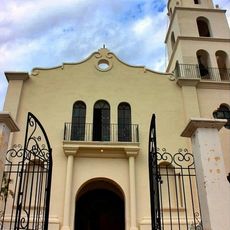
Temple of Our Lady of Los Remedios
77.2 km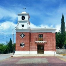
Temple of Saint Michael the Archangel
6.5 km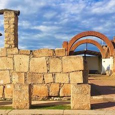
Ruins of the temple of the Holy Kings
76.8 km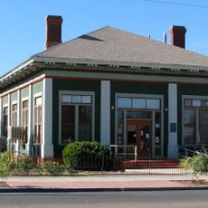
Douglas Residential Historic District
86.4 km
Hereford Road Bridge
85.1 km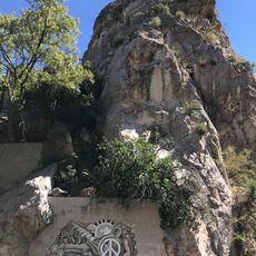
Castle Rock
85.5 kmReviews
Visited this place? Tap the stars to rate it and share your experience / photos with the community! Try now! You can cancel it anytime.
Discover hidden gems everywhere you go!
From secret cafés to breathtaking viewpoints, skip the crowded tourist spots and find places that match your style. Our app makes it easy with voice search, smart filtering, route optimization, and insider tips from travelers worldwide. Download now for the complete mobile experience.

A unique approach to discovering new places❞
— Le Figaro
All the places worth exploring❞
— France Info
A tailor-made excursion in just a few clicks❞
— 20 Minutes