
El Triunfo, human settlement in Honduras
Location: Choluteca Department
Elevation above the sea: 104 m
GPS coordinates: 13.11667,-87.00000
Latest update: June 8, 2025 00:27
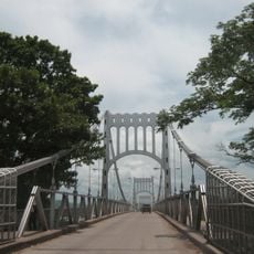
Choluteca Bridge
30 km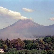
San Cristóbal Volcano
46 km
Cosigüina
64.6 km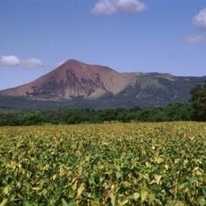
Telica
59.5 km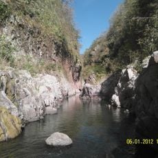
Somoto Canyon National Monument
49.5 km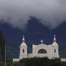
Our Lady of the Most Holy Rosary Cathedral, Estelí
69.9 km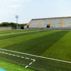
Estadio Emilio Williams Agasse
25.6 km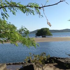
Estero Padre Ramos Natural Reserve
62.4 km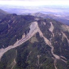
Casita Volcano
47.8 km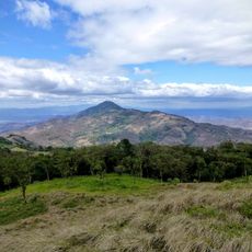
Nature Reserve Tepesomoto-Pataste
43.3 km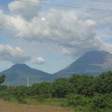
Chonco
46.3 km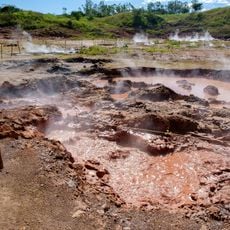
Hervideros de San Jacinto
64.2 km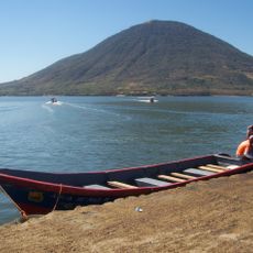
Isla del Tigre Lighthouse
71.6 km
Playa Negra
72.2 km
Playa Grande (lapyahan sa Honduras)
73.7 km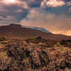
Telica
59.4 km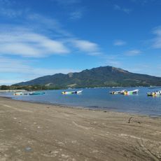
Playa El Burro
70.9 km
Playa Blanca
68.5 km
Playa de Ratón
57.6 km
Playa Brava (lapyahan sa Honduras, Departamento de Valle, lat 13,25, long -87,62)
69.1 km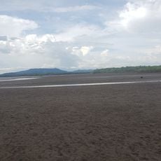
Playa Boca de Río Viejo
50.6 km
Playas El Carretal
50.5 km
Playa Gualorita
70.6 km
Las Playas de Cedeño
48.6 km
Playa del Muerto
66.8 km
Playa Secundino
66.8 km
Playa Caracol (lapyahan sa Honduras)
73.7 km
Playa El Zapote
69.2 kmReviews
Visited this place? Tap the stars to rate it and share your experience / photos with the community! Try now! You can cancel it anytime.
Discover hidden gems everywhere you go!
From secret cafés to breathtaking viewpoints, skip the crowded tourist spots and find places that match your style. Our app makes it easy with voice search, smart filtering, route optimization, and insider tips from travelers worldwide. Download now for the complete mobile experience.

A unique approach to discovering new places❞
— Le Figaro
All the places worth exploring❞
— France Info
A tailor-made excursion in just a few clicks❞
— 20 Minutes