
Puerto Rico, municipality in Caquetá Department, Colombia
Location: Caquetá Department
Inception: 1882
Capital city: Puerto Rico
Elevation above the sea: 523 m
Website: http://puertorico-caqueta.gov.co
GPS coordinates: 1.90750,-75.15833
Latest update: March 16, 2025 22:52


Serranía de la Macarena
153.1 km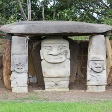
San Agustin archeological park
119.6 km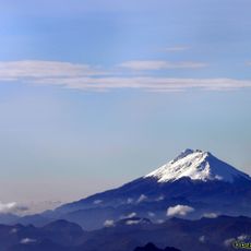
Nevado del Huila
149.3 km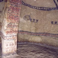
Tierradentro
123 km
Puracé
144.8 km
Puracé National Natural Park
136.5 km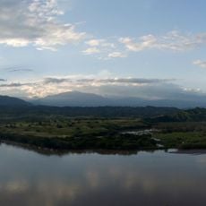
Lake Betania
92 km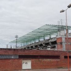
Estadio Guillermo Plazas Alcid
115.3 km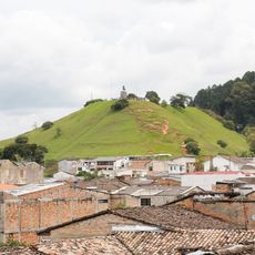
Morro del Tulcán
171.7 km
Santo Ecce Homo de Popayán
170.9 km
Parque Caldas
171.7 km
Sotará
161 km
Salto de Bordones
113.1 km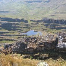
Cordillera de los Picachos National Natural Park
111.1 km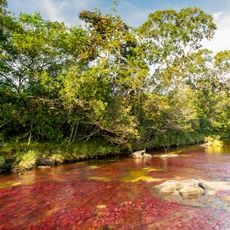
Tinigua National Natural Park
131.8 km
Alto Fragua - Indi Wasi National Natural Park
122.9 km
La Venta
155.1 km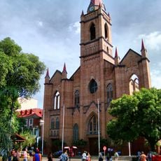
Immaculate Conception Cathedral, Neiva
114.3 km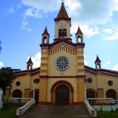
Our Lady of Lourdes Cathedral, Florencia
60.5 km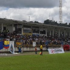
Estadio Ciro López
170.7 km
Salto de Mortiño
116.4 km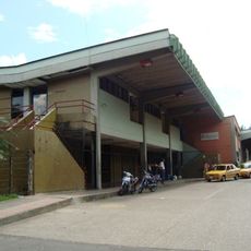
Terminal de Transportes de Florencia
59.6 km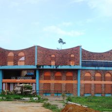
Plaza de toros de Santo Domingo
64.3 km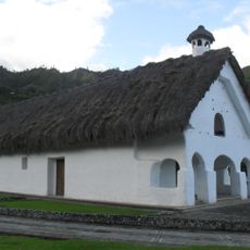
Capilla Paéz San Andrés de Pisimbalá
124.1 km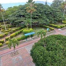
Íquira, Huila Main Park
98.2 km
Jardín Botánico de La Macarena
155.5 km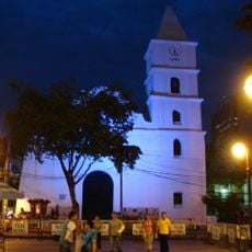
Church of the Immaculate Conception, Neiva
114.4 km
Reviews
Visited this place? Tap the stars to rate it and share your experience / photos with the community! Try now! You can cancel it anytime.
Discover hidden gems everywhere you go!
From secret cafés to breathtaking viewpoints, skip the crowded tourist spots and find places that match your style. Our app makes it easy with voice search, smart filtering, route optimization, and insider tips from travelers worldwide. Download now for the complete mobile experience.

A unique approach to discovering new places❞
— Le Figaro
All the places worth exploring❞
— France Info
A tailor-made excursion in just a few clicks❞
— 20 Minutes