
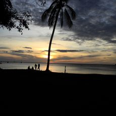
Palmira, district in Carrillo canton, Guanacaste province, Costa Rica
Location: Carrillo Canton
Elevation above the sea: 31 m
GPS coordinates: 10.54518,-85.58962
Latest update: April 2, 2025 11:56
Playas del Coco
11.4 km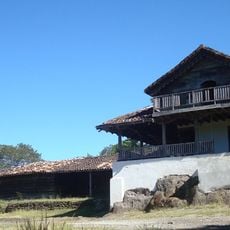
Hacienda Santa Rosa
32.3 km
Las Baulas National Marine Park
39.4 km
Palo Verde National Park
33.5 km
Playa Conchal
29.2 km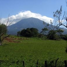
Area de Conservación Guanacaste World Heritage Site
34.1 km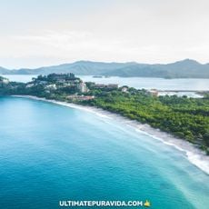
Flamingo
25.3 km
Playa Nacascolo
13.2 km
Playa Penca
12.2 km
Playa Calzón de Pobre
11.6 km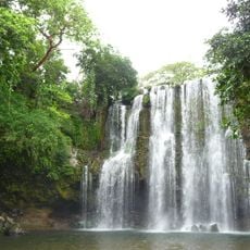
Llanos de Cortés Waterfall
31.9 km
Playa Danta
22.8 km
Playa Virador
13.2 km
Playa Panama
8.4 km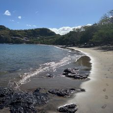
Playa Ocotal
14.6 km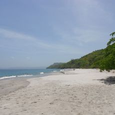
Playa Cabuyal
16.1 km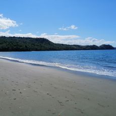
Playa Iguanita
11 km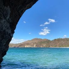
Playa Zapotillal (Mina)
31.2 km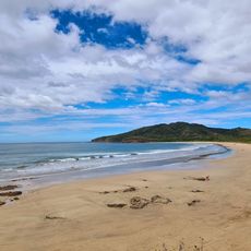
Playa Ventanas
36.8 km
Playa Naranjo
27.4 km
Playa Real
32.1 km
Playa Matapalito
20.3 km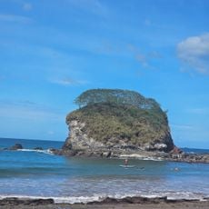
Playa Bahía de los Piratas
32.7 km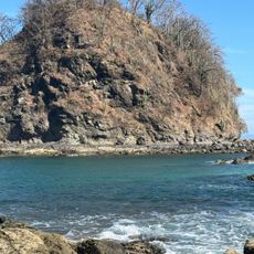
Playa Honda
33.3 km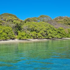
Playa Jícaro
12.6 km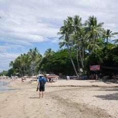
Tamarindo Beach
39.2 km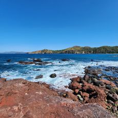
Playa Nombre de Jesús
31.8 km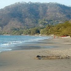
Hermosa Beach
10.4 kmReviews
Visited this place? Tap the stars to rate it and share your experience / photos with the community! Try now! You can cancel it anytime.
Discover hidden gems everywhere you go!
From secret cafés to breathtaking viewpoints, skip the crowded tourist spots and find places that match your style. Our app makes it easy with voice search, smart filtering, route optimization, and insider tips from travelers worldwide. Download now for the complete mobile experience.

A unique approach to discovering new places❞
— Le Figaro
All the places worth exploring❞
— France Info
A tailor-made excursion in just a few clicks❞
— 20 Minutes