Quebrada Valencia
Location: Magdalena Department
Elevation above the sea: 75 m
GPS coordinates: 11.19019,-73.76427
Latest update: March 7, 2025 23:15

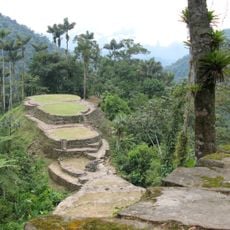
Ciudad Perdida
24.4 km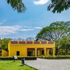
Quinta de San Pedro Alejandrino
45.5 km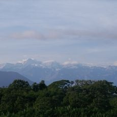
Sierra Nevada de Santa Marta National Park
36.4 km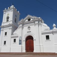
Cathedral of Santa Marta
49.2 km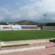
Estadio Eduardo Santos
47.4 km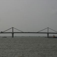
Laureano Gómez bridge
111.7 km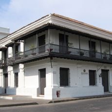
Museo de Oro Tairona
49.4 km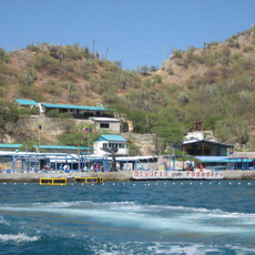
Rodadero Sea Aquarium and Museum
51.7 km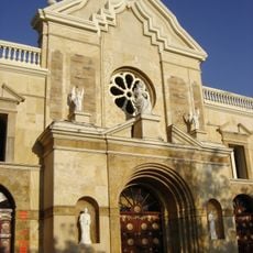
Catedral de Riohacha
101.6 km
Edificio Intendencia Fluvial
112.8 km
Cabo de la Aguja
50 km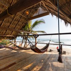
Costeño beach
12.8 km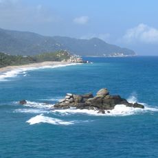
Tayrona National Natural Park
46.9 km
Avenida Santa Rita
49.6 km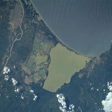
Ciénaga Grande de Santa Marta
79.9 km
Parque de Taminaca
48.6 km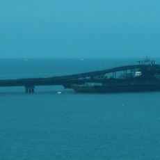
Puerto Drummond
51.4 km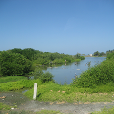
Salamanca Island Road Park
80.2 km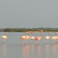
Flamingos Fauna and Flora Sanctuary
74.5 km
Parque Cultural del Caribe
101.5 km
Teatro Santa Marta
49.1 km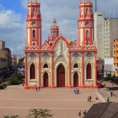
Plaza de san Nicolás
113.1 km
Cesar-Ranchería Basin
99.8 km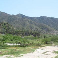
Cerro Ziruma
50.6 km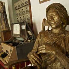
Casa del Telegrafista
81.2 km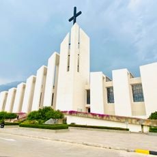
Cathedral of Ecce Homo, Valledupar
97.5 km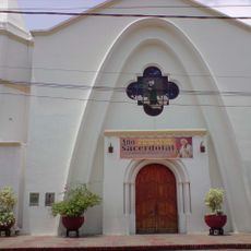
Former Cathedral of Our Lady of the Rosary, Valledupar
97.6 km
Reviews
Visited this place? Tap the stars to rate it and share your experience / photos with the community! Try now! You can cancel it anytime.
Discover hidden gems everywhere you go!
From secret cafés to breathtaking viewpoints, skip the crowded tourist spots and find places that match your style. Our app makes it easy with voice search, smart filtering, route optimization, and insider tips from travelers worldwide. Download now for the complete mobile experience.

A unique approach to discovering new places❞
— Le Figaro
All the places worth exploring❞
— France Info
A tailor-made excursion in just a few clicks❞
— 20 Minutes