
Valera, municipality in Trujillo state, Venezuela
Location: Trujillo
Capital city: Valera
Elevation above the sea: 515 m
GPS coordinates: 9.32060,-70.60776
Latest update: April 2, 2025 15:56
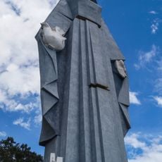
Monumento a la Virgen de la Paz
16.3 km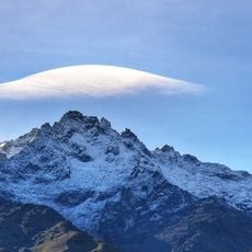
Pico Bolívar
99.4 km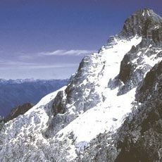
Sierra Nevada National Park
84.5 km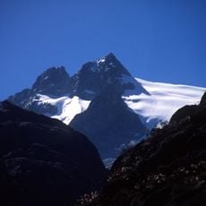
Humboldt peak
95.9 km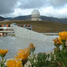
Llano del Hato National Astronomical Observatory
65.8 km
Sierra La Culata National Park
69.1 km
Dinira National Park
49.5 km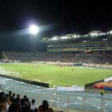
Estadio Agustín Tovar
89.1 km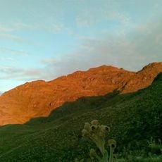
Teta de Niquitao-Guirigay Natural Monument
25.8 km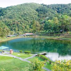
Guaramacal National Park
47.3 km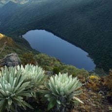
Laguna Negra
63.4 km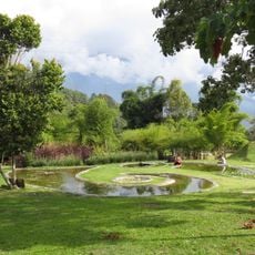
Botanical Garden of Mérida
97.5 km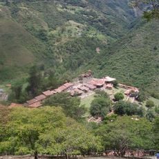
Los Aleros
86.2 km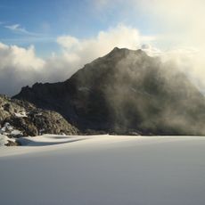
Pico Bonpland
97 km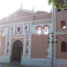
Cathedral of Our Lady of the Pillar
88.4 km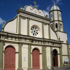
Cathedral Basilica of Our Lady of Coromoto
99.1 km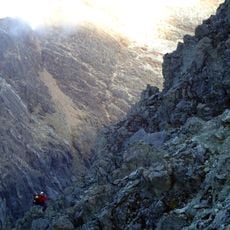
Pico La Concha
96.8 km
Cathedral of Our Lady of Peace, Trujillo
19.5 km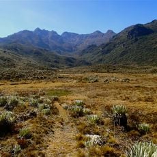
Pico Mucuñuque
66.4 km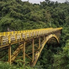
Viaducto Agrícola "Batalla de Niquitao"
33.2 km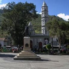
Basilica of St. Lucia, Timotes
40.2 km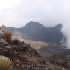
Alto de Timotes
57 km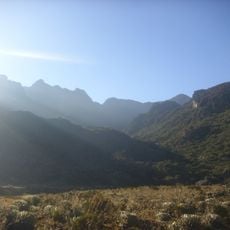
Pico Mifés
66.2 km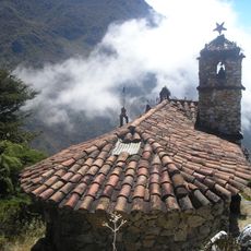
Capilla del Filo del Tisure
69.4 km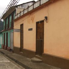
Monte Carmelo
27 km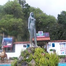
Parque Zoológico Chorros de Milla
96.9 km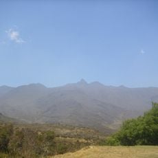
Pico El Gavilán
56.5 km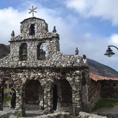
Capilla de Piedra de San Rafael de Mucuchies
67.6 kmReviews
Visited this place? Tap the stars to rate it and share your experience / photos with the community! Try now! You can cancel it anytime.
Discover hidden gems everywhere you go!
From secret cafés to breathtaking viewpoints, skip the crowded tourist spots and find places that match your style. Our app makes it easy with voice search, smart filtering, route optimization, and insider tips from travelers worldwide. Download now for the complete mobile experience.

A unique approach to discovering new places❞
— Le Figaro
All the places worth exploring❞
— France Info
A tailor-made excursion in just a few clicks❞
— 20 Minutes