Salina de Manaure, Strand in Kolumbien
Location: La Guajira Department
Elevation above the sea: 2 m
GPS coordinates: 11.76167,-72.51833
Latest update: April 4, 2025 03:06
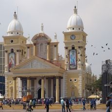
La Chiquinquirá Church
158.8 km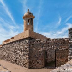
San Carlos de la Barra Fortress
131.6 km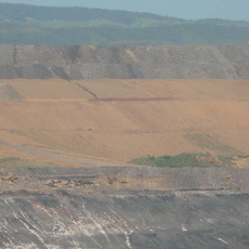
Cerrejón Formation
76.8 km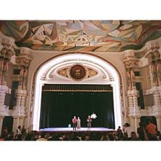
Baralt Theatre
159.4 km
Centro de Arte Lía de Bermúdez
159.6 km
Plaza de toros Monumental de Maracaibo
152.9 km
Hospital Universitario de Maracaibo
155.3 km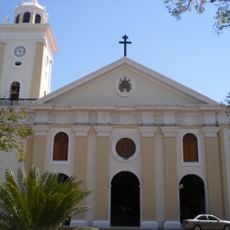
St. Peter and St. Paul Cathedral, Maracaibo
159.6 km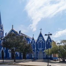
Saint Barbara Church (Maracaibo)
159.2 km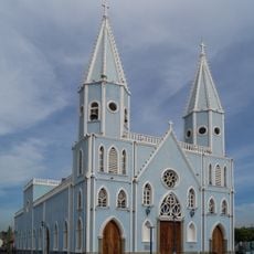
Church of St. Lucia
159.3 km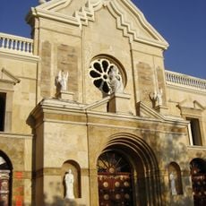
Catedral de Riohacha
48.6 km
Puerto Bolivar, Colombia
81.4 km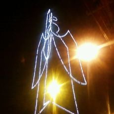
Ángel de Amparo
154.7 km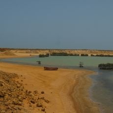
Bahía Portete – Kaurrele National Natural Park
66 km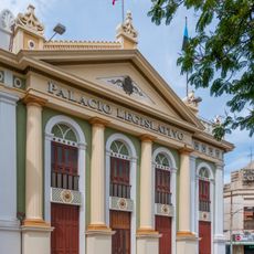
Palacio Legislativo del Zulia
159.5 km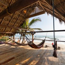
Costeño beach
154.7 km
Cemetery El Cuadrado de Maracaibo
158.2 km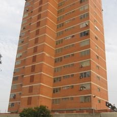
Edificio Padilla
158.8 km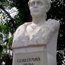
Bust of Queen Wilhelmina
156.6 km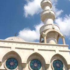
Mosque of Omar Ibn Al-Khattab
52.7 km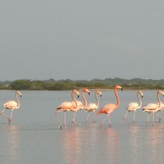
Flamingos Fauna and Flora Sanctuary
76.7 km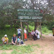
Macuira National Natural Park
135.8 km
Serranía de Macuira
134.6 km
Zulian Museum of Contemporary Art
154.7 km
Castilletes Formation
130.9 km
Jimol Formation
126.2 km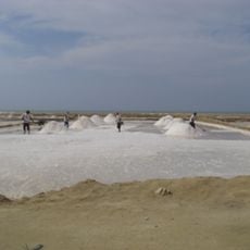
Salina de San Juan
8.7 km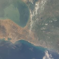
Salina de Umakaha
34 kmReviews
Visited this place? Tap the stars to rate it and share your experience / photos with the community! Try now! You can cancel it anytime.
Discover hidden gems everywhere you go!
From secret cafés to breathtaking viewpoints, skip the crowded tourist spots and find places that match your style. Our app makes it easy with voice search, smart filtering, route optimization, and insider tips from travelers worldwide. Download now for the complete mobile experience.

A unique approach to discovering new places❞
— Le Figaro
All the places worth exploring❞
— France Info
A tailor-made excursion in just a few clicks❞
— 20 Minutes