
Tehuacana, ghost town in Limestone County, Texas, United States
Location: Limestone County
Elevation above the sea: 195 m
GPS coordinates: 31.74220,-96.54560
Latest update: March 12, 2025 20:18
Mount Carmel Center
45 km
Texas Ranger Hall of Fame and Museum
58.1 km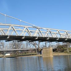
Waco Suspension Bridge
58.7 km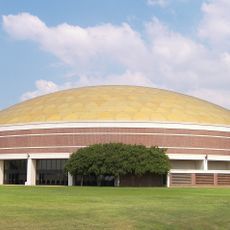
Ferrell Center
57.3 km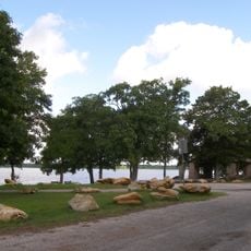
Fort Parker State Park
15.4 km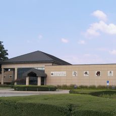
Texas Sports Hall of Fame
58.2 km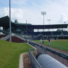
Baylor Ballpark
57.4 km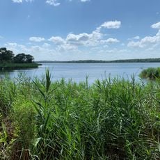
Fairfield Lake State Park
45.2 km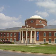
Mayborn Museum Complex
58 km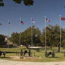
Confederate Reunion Grounds State Historic Site
12.2 km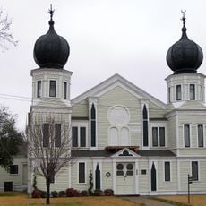
Temple Beth-El
39.3 km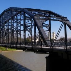
Washington Avenue Bridge
58.8 km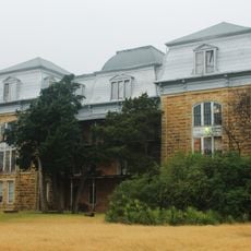
Texas Hall
190 m
Navarro County Courthouse
40 km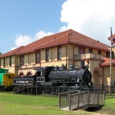
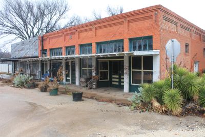
Trinity and Brazos Valley Railroad Depot and Office Building
27.9 km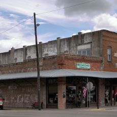
Groppe Building
52.1 km
Texas Sports Hall of Fame
58.2 km
Texas Ranger Research Center
58.1 km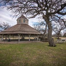
Confederate Reunion Grounds State Historic Site
12.4 km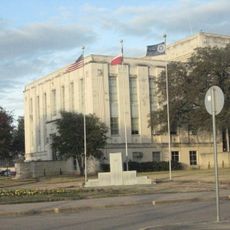
Falls County Courthouse
58.9 km
Palace Theatre
58.6 km
Palace Theater
39.8 km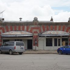
Best Theater
52.2 km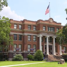
Freestone County Courthouse
36.6 km
Mills Place Historic District
39.6 km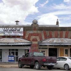
Best Theatre Building
52.1 km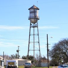
Borden Street water tower
52.2 km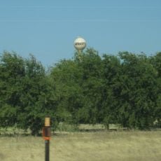
3rd Street water tower
52.4 kmVisited this place? Tap the stars to rate it and share your experience / photos with the community! Try now! You can cancel it anytime.
Discover hidden gems everywhere you go!
From secret cafés to breathtaking viewpoints, skip the crowded tourist spots and find places that match your style. Our app makes it easy with voice search, smart filtering, route optimization, and insider tips from travelers worldwide. Download now for the complete mobile experience.

A unique approach to discovering new places❞
— Le Figaro
All the places worth exploring❞
— France Info
A tailor-made excursion in just a few clicks❞
— 20 Minutes