
Thornton, city in Calhoun County, Arkansas, United States
Location: Calhoun County
Elevation above the sea: 97 m
GPS coordinates: 33.77667,-92.48972
Latest update: April 11, 2025 22:27
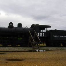
Tennessee, Alabama & Georgia Railway 101
8.3 km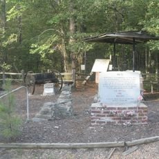
Marks’ Mills Battleground State Park
21.7 km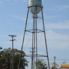
Hampton Waterworks
26.7 km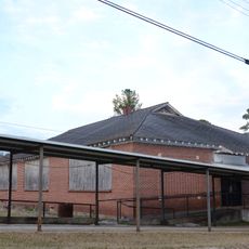
Dallas County Training School High School Building
9.3 km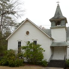
Sardis Methodist Church
29 km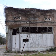
Bank of Carthage
33.7 km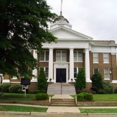
Dallas County Courthouse
8.1 km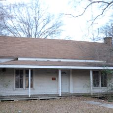
Jessie B. Smith House
8.7 km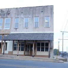
Nutt-Trussell Building
8.3 km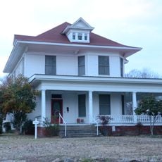
Waters House
8.1 km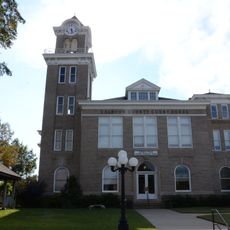
Calhoun County Courthouse
26.7 km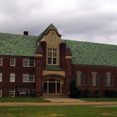
First United Methodist Church
8.3 km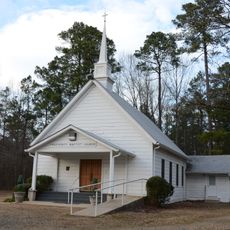
Prosperity Baptist Church
12.4 km
Ed Knight House
29.4 km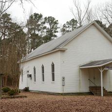
Mt. Carmel Methodist Church
19.7 km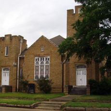
First Presbyterian Church
8 km
Charlotte Street Historic District
8.8 km
Fordyce Home Accident Insurance Company
8.3 km
Attwood-Hopson House
23.1 km
Bearden Waterworks
13 km
Amis House
7.9 km
Dunn House
26.9 km
Fordyce Commercial Historic District
8.2 km
John Russell House
8.9 km
Capt. Goodgame House
21.3 km
Hampton Masonic Lodge Building
26.7 km
Cleveland County Clerk's Building
33.8 km
Barnett-Attwood House
25.1 kmReviews
Visited this place? Tap the stars to rate it and share your experience / photos with the community! Try now! You can cancel it anytime.
Discover hidden gems everywhere you go!
From secret cafés to breathtaking viewpoints, skip the crowded tourist spots and find places that match your style. Our app makes it easy with voice search, smart filtering, route optimization, and insider tips from travelers worldwide. Download now for the complete mobile experience.

A unique approach to discovering new places❞
— Le Figaro
All the places worth exploring❞
— France Info
A tailor-made excursion in just a few clicks❞
— 20 Minutes