
São Sebastião da Boa Vista, municipality of Brazil
Location: Pará
Elevation above the sea: 2 m
Shares border with: Anajás, Breves, Curralinho, Limoeiro do Ajuru, Muaná
GPS coordinates: -1.71778,-49.54083
Latest update: March 8, 2025 19:31

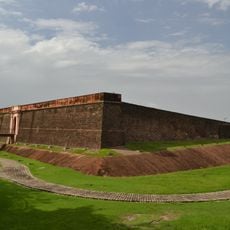
Forte do Castelo de Belém
118.9 km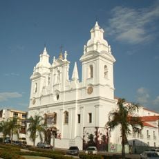
Our Lady of Grace Cathedral
118.9 km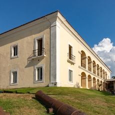
Palace of the Eleven Windows
118.8 km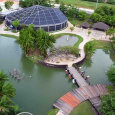
Mangal das Garças
118.6 km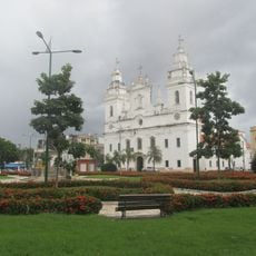
Feliz Lusitânia
119 km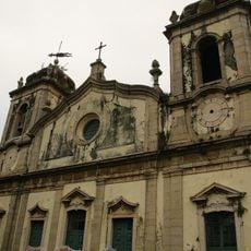
Church Our Lady of Mount Carmel
118.8 km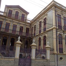
Pinho Mansion
118.8 km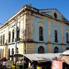
Solar da Beira
119.2 km
Palacete Camelier
118.8 km
Doca do Ver-o-Peso
119.1 km
Belém Lighthouse
118.6 km
Praça Dom Frei Caetano Brandão
118.9 km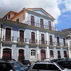
Solar do Barão de Guajará
119 km
Lago Piratuba Biological Reserve
62.9 km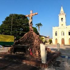
Our Lady of the Conception Cathedral, Abaetetuba
72.7 km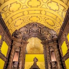
Collection of the Museum of Sacred Art of Belém
119 km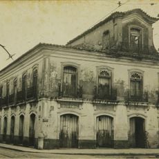
Old Palace
118.8 km
Quilombo Moju-miri
75.1 km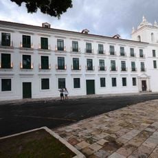
Museu de Arte Sacra do Pará
118.9 km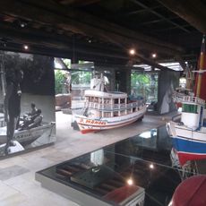
Amazon Navigation Memorial
118.6 km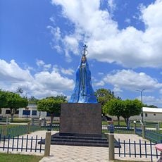
Monumento Matriz
101.4 km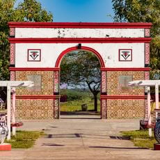
Marco do Sesquicentenário de Cachoeira do Arari
101.9 km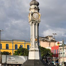
Clock at Praça Siqueira Campos
119.1 km
Igreja Matriz Nossa Senhora da Conceição
101.5 km
Necrotério Municipal
119 km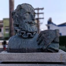
Bust of Luís de Camões
118.8 km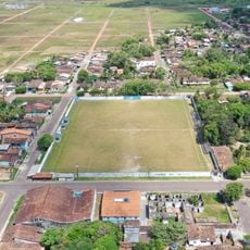
Estádio do Cachoeirense Esporte Clube
102.1 km
Museu do Marajó
102 kmReviews
Visited this place? Tap the stars to rate it and share your experience / photos with the community! Try now! You can cancel it anytime.
Discover hidden gems everywhere you go!
From secret cafés to breathtaking viewpoints, skip the crowded tourist spots and find places that match your style. Our app makes it easy with voice search, smart filtering, route optimization, and insider tips from travelers worldwide. Download now for the complete mobile experience.

A unique approach to discovering new places❞
— Le Figaro
All the places worth exploring❞
— France Info
A tailor-made excursion in just a few clicks❞
— 20 Minutes