
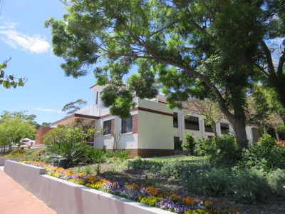
Armadale District Hall, heritage listed building in Armadale, Western Australia
Location: City of Armadale
Location: Western Australia
Address: 90 Jull St, Armadale
GPS coordinates: -32.15071,116.01860
Latest update: March 2, 2025 21:02
Araluen Botanic Park
8.6 km
Cohunu Koala Park
8.9 km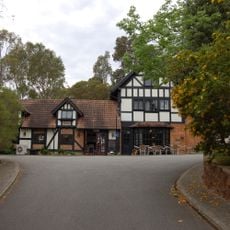
Elizabethan Village
2 km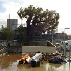
Old Jarrah Tree
396 m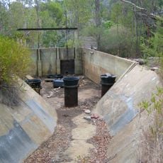
Canning Contour Channel (former)
6.8 km
Banyowla Regional Park
10.9 km
Wungong Regional Park
1.8 km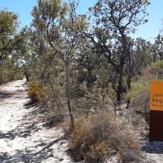
Jandakot Regional Park
11.6 km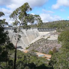
Midgegooroo National Park
9.1 km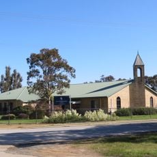
Free Reformed Church of Byford
8.3 km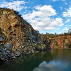
Old Barrington Quarry
10.2 km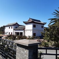
Siheyuan style house, Banjup
13.3 km
Armadale Congregational Church
192 m
Armadale Brickworks Quarry (former)
774 m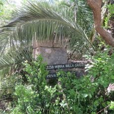
Wirra Willa Gardens
427 m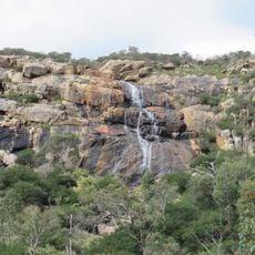
Sixty Foot Falls
9.6 km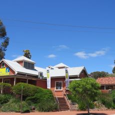
Perth Hills Armadale Visitor Centre
108 m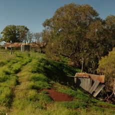
Maddington Homestead
11 km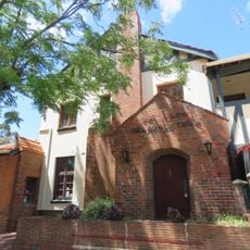
Ye Olde Narrogin Inne
352 m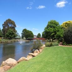
Minnawarra Park
258 m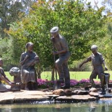
Centenary of Federation - Italian Settlers Memorial
238 m
City of Armadale council chambers
217 m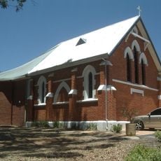
St Matthew's Anglican Church Group, Armadale
90 m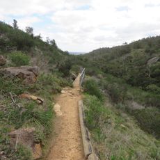
Ellis Brook Valley Reserve
9.9 km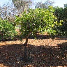
Wilkinson's Orchard
10.3 km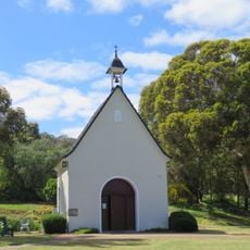
Schoenstatt Shrine, Mount Richon
1.8 km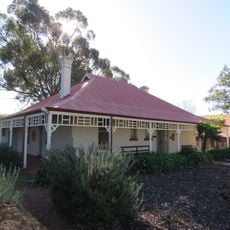
Wilkinson Homestead
10.3 km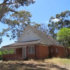
Colyer House
159 mVisited this place? Tap the stars to rate it and share your experience / photos with the community! Try now! You can cancel it anytime.
Discover hidden gems everywhere you go!
From secret cafés to breathtaking viewpoints, skip the crowded tourist spots and find places that match your style. Our app makes it easy with voice search, smart filtering, route optimization, and insider tips from travelers worldwide. Download now for the complete mobile experience.

A unique approach to discovering new places❞
— Le Figaro
All the places worth exploring❞
— France Info
A tailor-made excursion in just a few clicks❞
— 20 Minutes