
Wahring, locality in Victoria, Australia
Location: Shire of Strathbogie
GPS coordinates: -36.69615,145.25908
Latest update: March 31, 2025 21:26
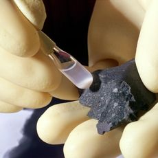
Murchison meteorite
10.3 km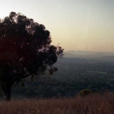
Hume
37 km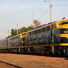
Seymour Railway Heritage Centre
37.8 km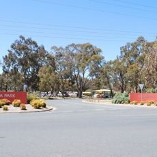
Kyabram Fauna Park
45.5 km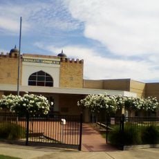
Albanian Mosque
39.5 km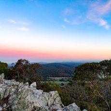
Heathcote-Graytown National Park
26.7 km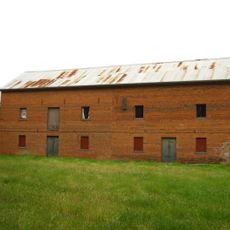
Days Mill and Farm
5.3 km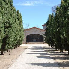
Italian National Ossario
8.3 km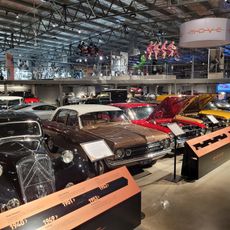
The Museum of Vehicle Evolution (MOVE)
31.1 km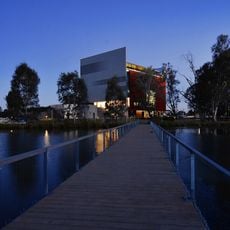
Shepparton Art Museum
36.1 km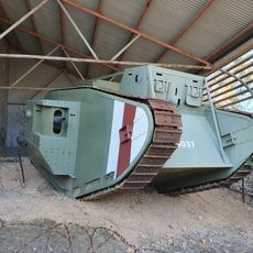
Australian Army Armour & Artillery Museum Puckapunyal
38.6 km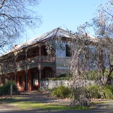
Gregory's Bridge Hotel
9.5 km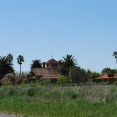
Karlsruhe
43.7 km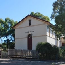
Rushworth Court House
24.6 km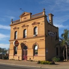
Wunghnu Mechanics Institute
62.4 km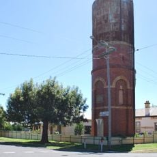
Elmore Water Tower
62 km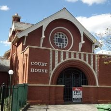
Euroa Court House
28.5 km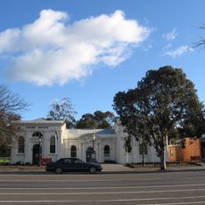
Heathcote Court House and Council Chambers
55.1 km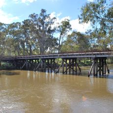
Old Goulburn River Bridge
38.4 km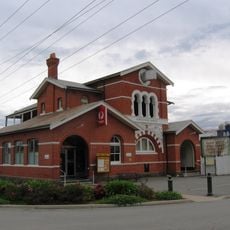
Euroa Post Office
28.5 km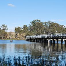
Kirwans Bridge
12 km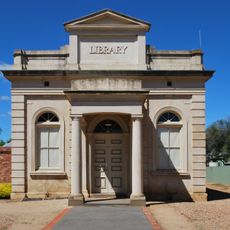
Elmore Athenaeum Hall
62.2 km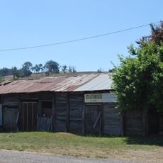
Strathbogie Blacksmiths Shop
46.1 km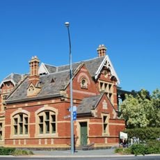
National Bank of Australasia building
28.3 km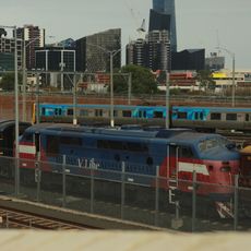
V/Line A60
37.8 km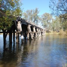
Chinamans Bridge
15.9 km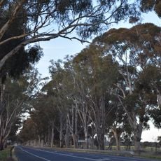
Calder Woodburn Memorial Avenue
15.5 km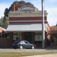
Rushworth Chronicle building
24.9 kmReviews
Visited this place? Tap the stars to rate it and share your experience / photos with the community! Try now! You can cancel it anytime.
Discover hidden gems everywhere you go!
From secret cafés to breathtaking viewpoints, skip the crowded tourist spots and find places that match your style. Our app makes it easy with voice search, smart filtering, route optimization, and insider tips from travelers worldwide. Download now for the complete mobile experience.

A unique approach to discovering new places❞
— Le Figaro
All the places worth exploring❞
— France Info
A tailor-made excursion in just a few clicks❞
— 20 Minutes