
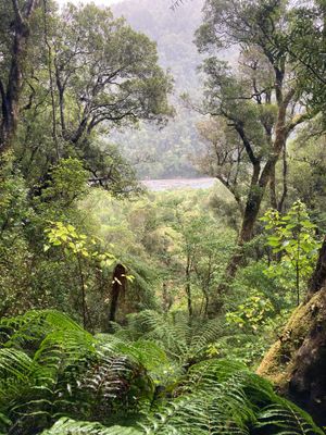
Cockayne Nature Walk, hiking trail in Arthur's Pass, New Zealand
Location: Westland District
Elevation above the sea: 460 m
GPS coordinates: -42.80162,171.57125
Latest update: May 31, 2025 09:08
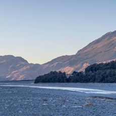
Arthur's Pass National Park
15.7 km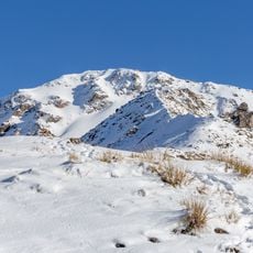
Avalanche Peak
16 km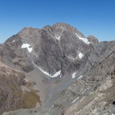
Mount Rolleston
13.1 km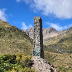
Arthur Dudley Dobson Memorial
11.9 km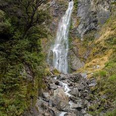
Devils Punchbowl Falls
14.6 km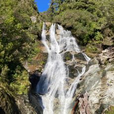
Carew Falls
22.4 km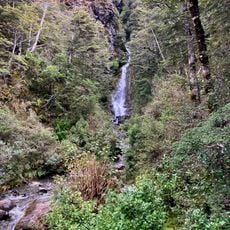
Avalanche Creek Falls
15.5 km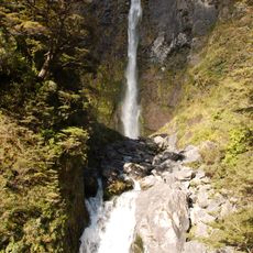
Bridal Veil Falls
14 km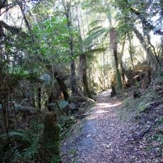
Velenski Walk
26.7 km
Millennium Walk
15.5 km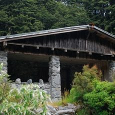
Aniwaniwa
14.8 km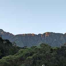
Tara Tama Range
15.4 km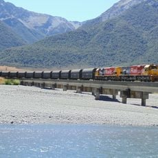
Kiwirail bridge 42
26.1 km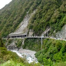
Ōtira Gorge
7.3 km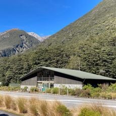
Arthur's Pass Visitor Centre
15.6 km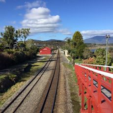
Moana Railway Station Historic Area
26.2 km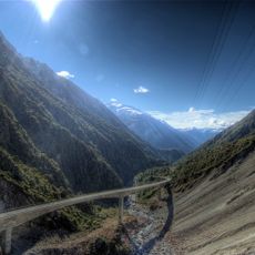
Otira Viaduct
9.5 km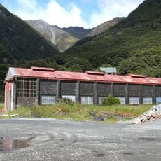
Engine Shed
16 km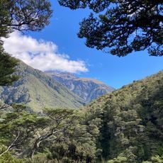
Devils Punchbowl Walking Track
14.7 km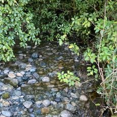
Petrel Creek
21.1 km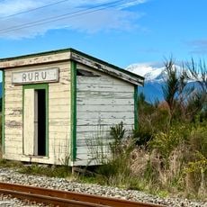
Ruru shelter shed
25.5 km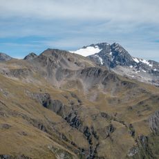
Crow Glacier
13.6 km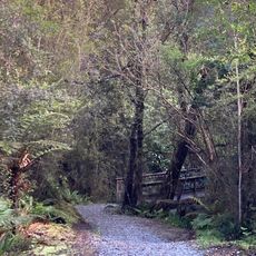
Rakaitane Walk
27 km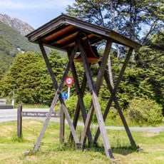
Arthur's Pass bell tower
15.4 km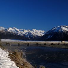
Bealey Bridge
24.4 km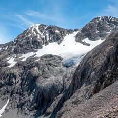
Cronin Glacier
21.2 km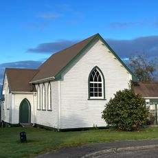
St John's Church
26.3 km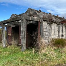
Ruru Drying Kiln
25.4 kmVisited this place? Tap the stars to rate it and share your experience / photos with the community! Try now! You can cancel it anytime.
Discover hidden gems everywhere you go!
From secret cafés to breathtaking viewpoints, skip the crowded tourist spots and find places that match your style. Our app makes it easy with voice search, smart filtering, route optimization, and insider tips from travelers worldwide. Download now for the complete mobile experience.

A unique approach to discovering new places❞
— Le Figaro
All the places worth exploring❞
— France Info
A tailor-made excursion in just a few clicks❞
— 20 Minutes