
Mortdale, suburb of Sydney, New South Wales, Australia
Location: Georges River Council
GPS coordinates: -33.96730,151.07219
Latest update: March 16, 2025 13:27
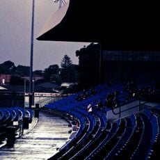
Belmore Sports Ground
6 km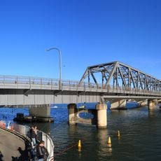
Tom Uglys Bridge
5.5 km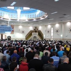
Lakemba Mosque
6.1 km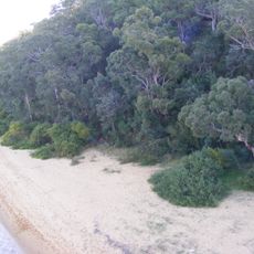
Georges River National Park
5.9 km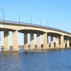
Captain Cook Bridge, New South Wales
6.8 km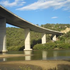
Woronora River Bridge
6.2 km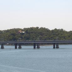
Como railway bridge
3.1 km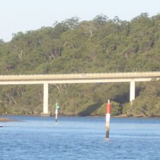
Alfords Point Bridge
4 km
Old Como railway bridge
3.1 km
Wolli Creek Regional Park
6.8 km
Al-Rasool Al-A'dham Mosque
6.1 km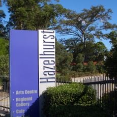
Hazelhurst Regional Gallery and Arts Centre
7.4 km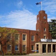
Rockdale Town Hall
6.4 km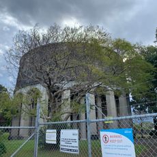
Penshurst Elevated Reservoir No.3
1.8 km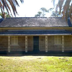
Carss Cottage
5.1 km
Thurlow House
4.7 km
Green Point Observatory
3.8 km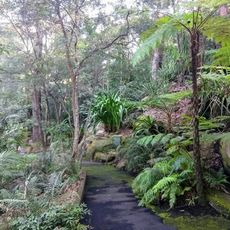
Joseph Banks Native Plants Reserve, Kareela
6.1 km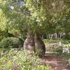
Sylvan Grove Native Garden
6.8 km
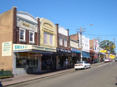
Hurstville
2.8 km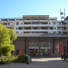
Kogarah Library
5.6 km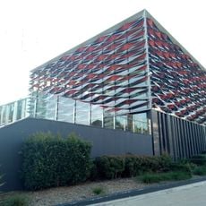
Bankstown Library and Knowledge Centre
6.8 km
Sans Souci Library
6.9 km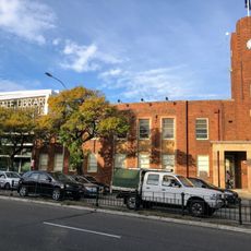
Rockdale Library
6.5 km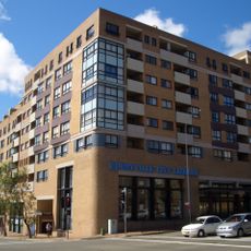
Hurstville Library
2.7 km
Sutherland Library
7.1 km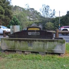
Horse trough
4 km
Horse trough
7.2 kmReviews
Visited this place? Tap the stars to rate it and share your experience / photos with the community! Try now! You can cancel it anytime.
Discover hidden gems everywhere you go!
From secret cafés to breathtaking viewpoints, skip the crowded tourist spots and find places that match your style. Our app makes it easy with voice search, smart filtering, route optimization, and insider tips from travelers worldwide. Download now for the complete mobile experience.

A unique approach to discovering new places❞
— Le Figaro
All the places worth exploring❞
— France Info
A tailor-made excursion in just a few clicks❞
— 20 Minutes