
Wildflower Refuge
Location: Queensland
Elevation above the sea: 41 m
GPS coordinates: -27.46266,153.45283
Latest update: March 5, 2025 01:39
Peel Island
11 km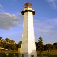
Cleveland Point Light
17 km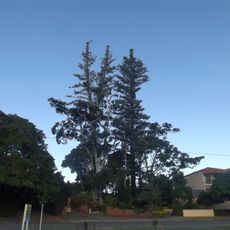
Norfolk Island Pine Trees, Cleveland
17.6 km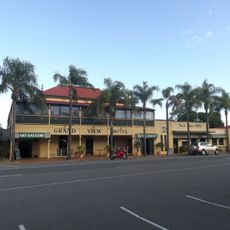
Grand View Hotel
17.8 km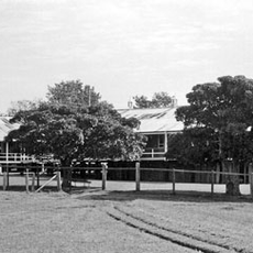
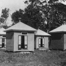
Dunwich Benevolent Asylum
6.2 km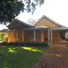
Ormiston House Estate
19.6 km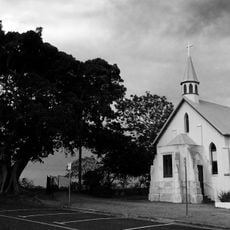
St Pauls Anglican Church, Cleveland
18 km
Old Cleveland Police Station
18.5 km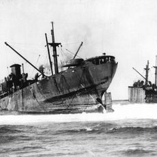
SS Rufus King
9.5 km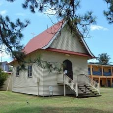
St Mark's Anglican Church and Dunwich Public Hall
6.4 km
St Andrews Church, Ormiston
19.8 km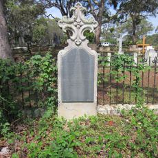
Dunwich Cemetery
6 km
Naree Budjong Djara National Park
18.5 km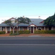
Cleveland Hotel
17.7 km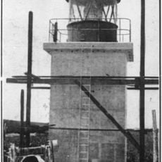
Point Lookout Light
9.3 km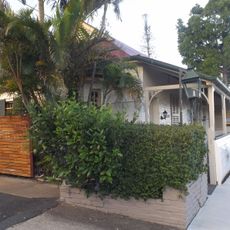
Old Cleveland Court House
17.4 km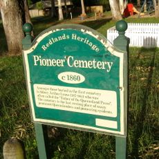
Cleveland Pioneer Cemetery
20.7 km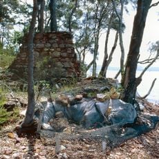
Industrial Ruins, Macleay Island
20.9 km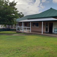
North Stradbroke Island Historical Museum
6.2 km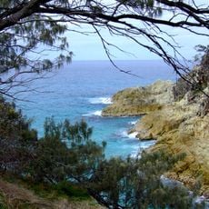
Point Lookout Foreshore
9.1 km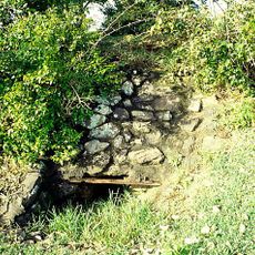
Dunwich Public Reserve
6.6 km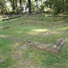
Ormiston Fellmongery
20.9 km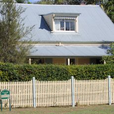
Fernleigh
18.1 km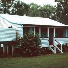
Lamb Island Pioneer Hall
19.3 km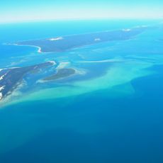
Teerk Roo Ra National Park
10.5 km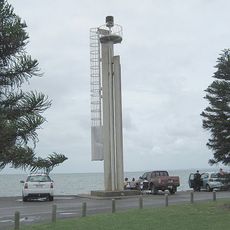
Cleveland Point Light
17 km
Point Halloran Conservation Area
19.3 km
Dunwich Banks
5.1 kmVisited this place? Tap the stars to rate it and share your experience / photos with the community! Try now! You can cancel it anytime.
Discover hidden gems everywhere you go!
From secret cafés to breathtaking viewpoints, skip the crowded tourist spots and find places that match your style. Our app makes it easy with voice search, smart filtering, route optimization, and insider tips from travelers worldwide. Download now for the complete mobile experience.

A unique approach to discovering new places❞
— Le Figaro
All the places worth exploring❞
— France Info
A tailor-made excursion in just a few clicks❞
— 20 Minutes