
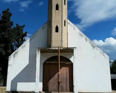
Bachíniva, human settlement
Location: Bachíniva Municipality
Inception: September 8, 1660
Elevation above the sea: 2,020 m
GPS coordinates: 28.76861,-107.25361
Latest update: April 17, 2025 03:58

Basaseachic Falls
114.8 km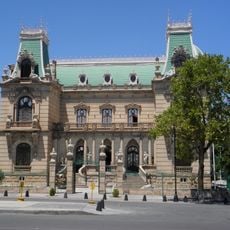
Quinta Gameros
116.2 km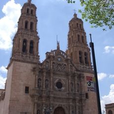
Cathedral of Chihuahua
115.8 km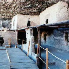
Cuarenta Casas
124.7 km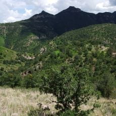
Cumbres de Majalca National Park
75.1 km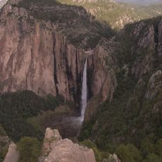
Basaseachic Falls National Park
120.5 km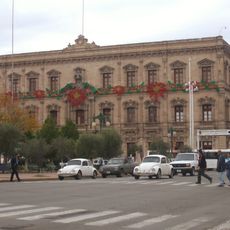
Government Palace of Chihuahua
116.1 km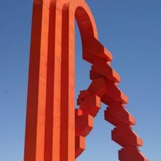
Puerta de Chihuahua
127.8 km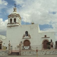
San Francisco Temple
116.2 km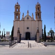
Santuario de Guadalupe
114.9 km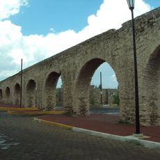
Acueducto de Chihuahua
115.1 km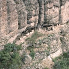
Huápoca
116 km
Museo Semilla
115.1 km
Casa Chihuahua Centro de Patrimonio Cultural
116.1 km
Mausoleo de Francisco Villa en Chihuahua
116.5 km
Templo de Santa Rita de Casia
116.2 km
Templo del Sagrado Corazón de Jesús
116.5 km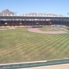
Estadio Chihuahua
121.3 km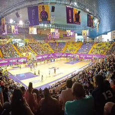
Gymnasio Manuel Bernardo Aguirre
114.7 km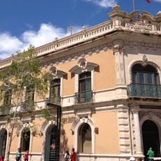
Casa Creel
115.8 km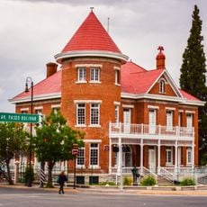
Quinta Touché
116.3 km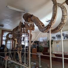
Museo del Mamút
116.4 km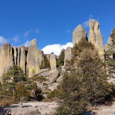
Valley of Mushrooms
121.3 km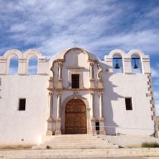
Santa Ana de Chinarras
128.9 km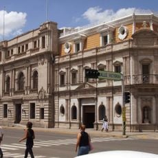
City Hall of Chihuahua
115.9 km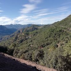
Área de Protección de Flora y Fauna Tutuaca
86.9 km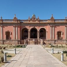
Quintas Carolinas
112.9 km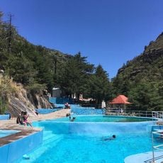
Recowata Hot Springs
130.4 kmReviews
Visited this place? Tap the stars to rate it and share your experience / photos with the community! Try now! You can cancel it anytime.
Discover hidden gems everywhere you go!
From secret cafés to breathtaking viewpoints, skip the crowded tourist spots and find places that match your style. Our app makes it easy with voice search, smart filtering, route optimization, and insider tips from travelers worldwide. Download now for the complete mobile experience.

A unique approach to discovering new places❞
— Le Figaro
All the places worth exploring❞
— France Info
A tailor-made excursion in just a few clicks❞
— 20 Minutes