
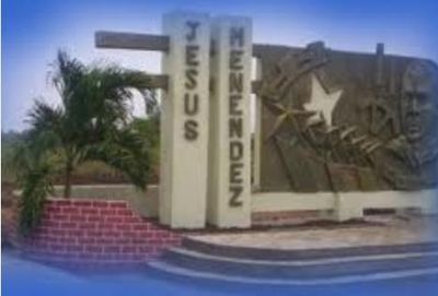
Jesús Menéndez, city and municipality of Cuba
Location: Las Tunas Province
Elevation above the sea: 5 m
GPS coordinates: 21.16333,-76.47750
Latest update: March 6, 2025 23:11
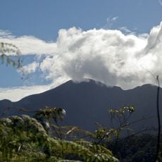
Pico Turquino
135.9 km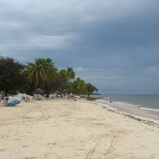
Guardalavaca
67.5 km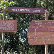
Turquino National Park
135.9 km
Sierra Cristal National Park
125 km
El Chorro de Maita
69.3 km
Río Mayarí
98.2 km
Cupaynicú
98.7 km
Teatro Manzanillo
112.9 km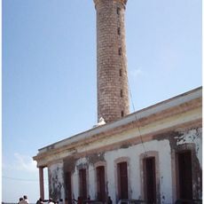
Cabo Lucrecia Lighthouse
89.6 km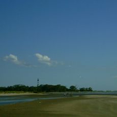
Punta Rasa Lighthouse
36 km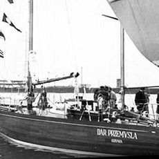
SY Dar Przemyśla
47.5 km
Pico Lora
130.5 km
Monumento a Martí
81.4 km
Río Grande
110.3 km
Río Baire
81.3 km
Playa Barrederas
121.8 km
Playa Velázquez
34 km
Playa Larga
88.1 km
Playa de Caletona
27.4 km
Charco Mono reservoir
130.6 km
Río Baja
108.9 km
Laguna Santa Clara
87 km
Río Plata
87.8 km
Pico Cuevas
138.3 km
Río Holguín
53.5 km
Río Levisa
113.3 km
Embalse las Villas
79.4 km
Río Cabonico
117.1 kmReviews
Visited this place? Tap the stars to rate it and share your experience / photos with the community! Try now! You can cancel it anytime.
Discover hidden gems everywhere you go!
From secret cafés to breathtaking viewpoints, skip the crowded tourist spots and find places that match your style. Our app makes it easy with voice search, smart filtering, route optimization, and insider tips from travelers worldwide. Download now for the complete mobile experience.

A unique approach to discovering new places❞
— Le Figaro
All the places worth exploring❞
— France Info
A tailor-made excursion in just a few clicks❞
— 20 Minutes