
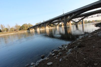
Diestelhorst Bridge, historic bridge in Redding, California
Location: Redding
Inception: 1914
GPS coordinates: 40.59326,-122.40178
Latest update: March 3, 2025 02:29
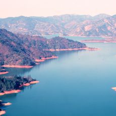
Shasta Lake
18.8 km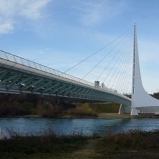
Sundial Bridge at Turtle Bay
2 km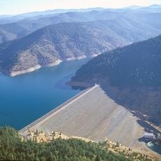
Trinity Lake
39.9 km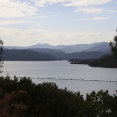
Whiskeytown Lake
10.3 km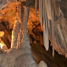
Lake Shasta Caverns
24.9 km
Saint Herman of Alaska Brotherhood
50.3 km
Pit River Bridge
20.1 km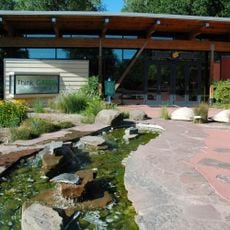
Turtle Bay Exploration Park
2.3 km
Keswick Dam
4.3 km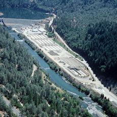
Lewiston Lake
36.2 km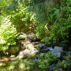
Dunsmuir Botanical Gardens
64.2 km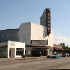
State Theatre
48.5 km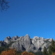
Castle Crags State Park
64.5 km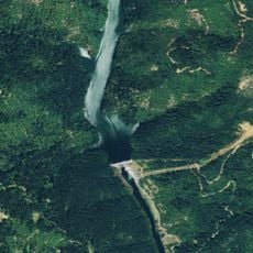
Pit 6 Dam
50.3 km
Spring Creek Reservoir
7.3 km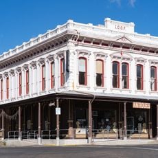
Odd Fellows Building
48.5 km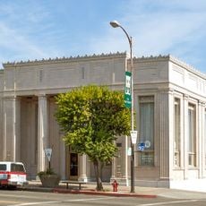
Old Bank of America Building
48.4 km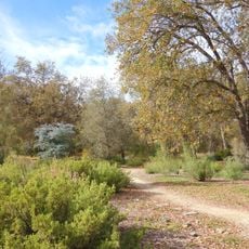
McConnell Arboretum & Botanical Gardens
1.7 km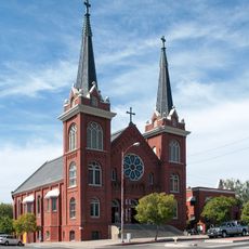
Saint Mary's Parish
48.7 km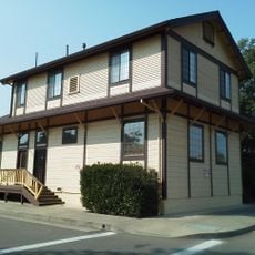
Cottonwood Historic District
25.6 km
Bowerman Barn
46 km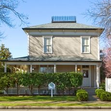
Edward Frisbie House
1.3 km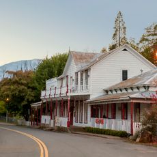
French Gulch Historic District
23.6 km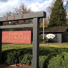
Weaverville Joss House State Historic Park
48 km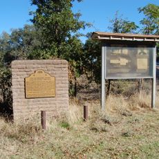
Reading Adobe Site
28.3 km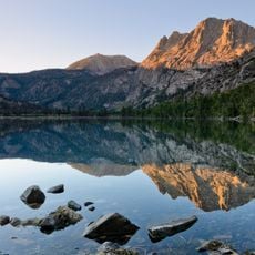
Silver Lake
49.8 km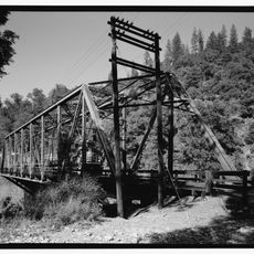
Lower Pollard Flat Bridge
44.3 km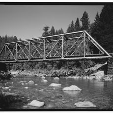
UP Sacramento River Bridge
54.7 kmReviews
Visited this place? Tap the stars to rate it and share your experience / photos with the community! Try now! You can cancel it anytime.
Discover hidden gems everywhere you go!
From secret cafés to breathtaking viewpoints, skip the crowded tourist spots and find places that match your style. Our app makes it easy with voice search, smart filtering, route optimization, and insider tips from travelers worldwide. Download now for the complete mobile experience.

A unique approach to discovering new places❞
— Le Figaro
All the places worth exploring❞
— France Info
A tailor-made excursion in just a few clicks❞
— 20 Minutes